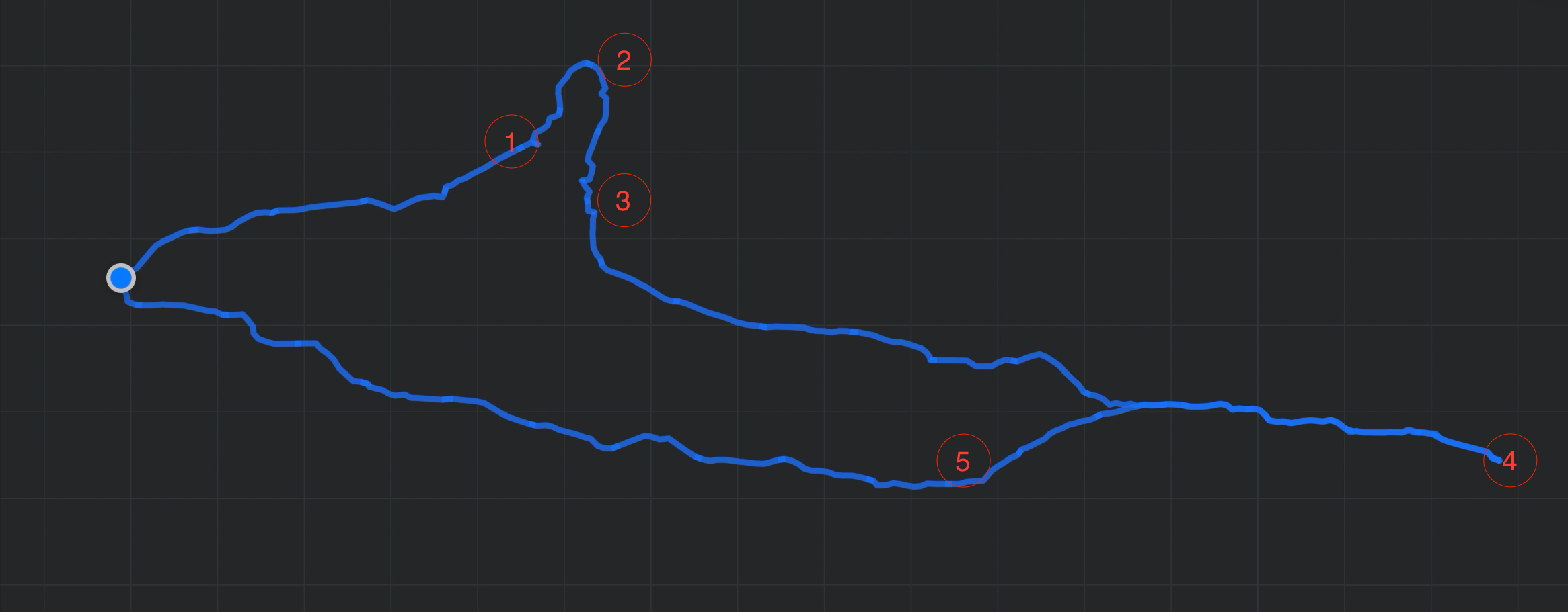
We took a five-day road trip during China’s National Day holiday, traveling from Beijing to Jin Hai Lake, Jixian, Aranya, and Tangshan. It was a trip filled with laughter, good food, and a sense of calm.
Day 1 – Jin Hai Lake
I drove carefully at first, making my way to Jin Hai Lake. We set up a canopy and picnic mat on the grass, lazily enjoying the afternoon. Driving through winding mountain roads to the hotel after dark, I didn’t even know how to switch on the high beams and had to follow the car ahead. To our surprise, our room was upgraded to a spacious suite. Dinner at a local restaurant called “Da Lin” was simple but delicious.
Day 2 – Jixian Ancient Town
After breakfast, the kids played in the indoor playground and made mooncakes. We then headed to Jixian, an ancient town rich in history. Lunch was a hearty pot of stewed fish. We visited Dule Temple and wandered through Yuyang Ancient Street. Parking in the narrow village alley was tricky, but I managed it. The homestay that night was disappointing, but it was just a place to sleep. We had light barbecue for dinner after an overly filling lunch.
Day 3 – Journey to Aranya
We started the day with a short hike before driving three hours on the highway to Aranya. The hotel was decent, though getting into the gated community wasn’t easy. That night, we planned how to enter the next day and enjoyed seafood—especially the clams, which everyone loved so much we ordered twice.
Day 4 – Aranya
The morning wind was howling outside. We left around ten and entered Aranya with the help of a “scalper,” which felt a bit like sneaking in. The community had everything—shops, cafes, art—and even though I didn’t do much, it was worth seeing. The kids had a blast on the beach; one got knocked over by waves, the other soaked his pants laughing.
Day 5 – Tangshan and Home
We slept in, had breakfast, and drove to Tangshan with light traffic all the way. We visited the Earthquake Memorial Park, had lunch at “Tangshan Banquet,” and took a brief stroll near Qiaotou Old Street. As the sun set and the moon rose, we headed home, hearts full and spirits calm.