2026年4月16日,上午记录。
今天早上起得蛮早,6 点就起来了。起来之后先坐到电脑前面写了点东西,还是用 Claude Code 搭配 MiniMax 2.7 的模型,把昨天晚上做的那个写汉字的 APP 又重新弄了一下。结果弄着弄着,一看时间都已经 6:40 多、快 6:50 了,就赶紧穿衣服下楼去跑步。
今天跑步的时候感觉还是挺轻松的。可能是因为前两天有锻炼,尤其是昨天练了腿,所以今天跑起来会觉得比较轻快,速度也稍微比以前提了一点点。没跑多久就出汗了。跑完还是照旧,买咖啡,买早餐。
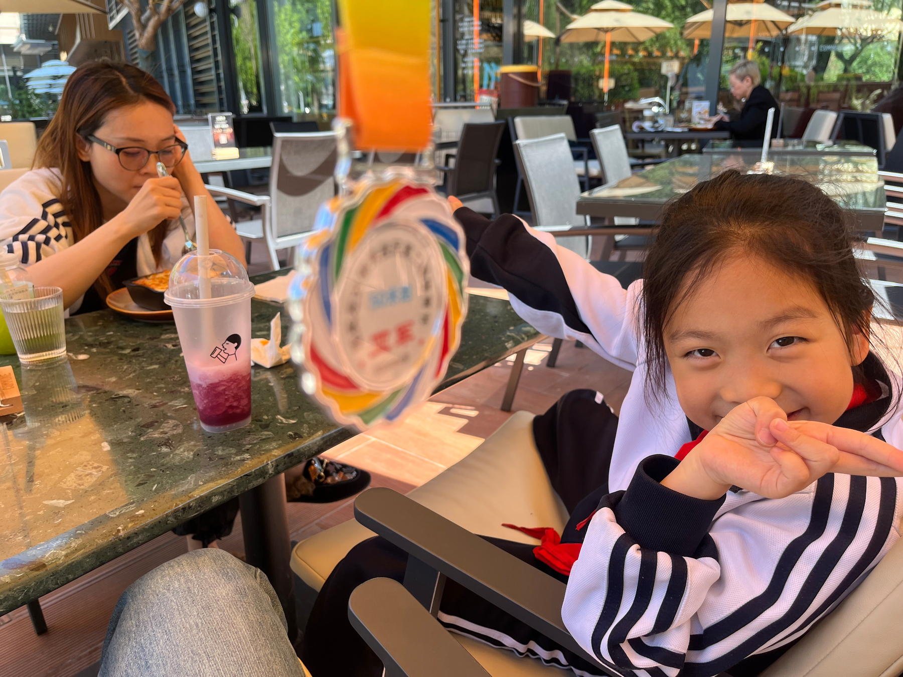
回家的时候还碰到个小插曲。我一进门发现卫生间的灯是关着的,再一看哈妹的小房间也没人,结果回头看大床,发现哈妹居然还在睡。我就赶紧叫她起床。她像是被惊醒了一样,一下子就蹿起来跑去洗漱了。
这里还挺有意思的。因为她自己感觉时间不多了,所以洗漱得特别敷衍,感觉牙刷可能就在水里咕咚了两下,就说自己刷完牙了,呵呵。后来我发现了,就跟她说其实时间还是有一点的,让她再去好好刷一下。她这才又认真去刷了一遍。
她们今天下午会有活动,要去中国电影博物馆参观,可能回来会早一点。下午我看情况,估计还是正常时间去接她。
对了,刚才说到今天早上起来没有看书,也没有立刻去跑步,而是先在用 Claude Code 加 MiniMax 做那个写字的 APP。这个想法其实很早以前就有了,去年其实已经做过一版原型。今年就想再试试看,从零开始,看看 MiniMax 到底能把它做成什么样子。
今年跟之前不一样的地方在于,这次我会用一些 skills 来做。之所以选 MiniMax,也是想顺便看看它的用量到底怎么样,效果又怎么样。结果在做的过程当中我发现,现在我好像还是 starter 的订阅,但做的时候完全没有以前用 Claude Code 原生订阅时那种 token 焦虑,或者 rate limit 焦虑,实在是太爽了。
就是有什么想法、想做什么,直接让它去做就好了,也不用老想着:5 小时的 limit 已经到 50% 了、60% 了、70% 了、80% 了,那我还要不要继续做。现在完全没有这种顾虑。
而且还有一个很重要的点,就是如果后面觉得 starter 这个档位在 5 小时内大概 600 次请求还不够用,那其实还可以升级。因为它的订阅费相对来说还是比较低的。所以我现在在想,后面应该还是会继续用它来做东西。
不过我现在还有一个不太明确的点,就是如果做 plan 的时候用 Opus,执行的时候用 MiniMax,那这两个怎么比较顺地衔接起来,这个后面还得再花点时间去 review 一下,看看怎么把这套工作流真正建起来。
哦,刚才路上还碰到一个有点迷惑的情况。我回头看见一辆车,它明明已经右拐进了右拐车道,结果又突然往前开,搞不懂它到底要怎么走。
还有一件事,刚才我有点着急买票,因为五一要回老家,想回去看看家里人。我先填了预填单,结果发现刚一开售就已经没票了,现在只能先候补车票了。
对,刚才还想讲一个小事。今天早上不太想吃食堂的粥之类的,所以就买了牛奶、香蕉,还有苹果,一会儿再去买两个鸡蛋,这样就算是我的早餐了。每天吃得稍微不一样一点,做得稍微不一样一点,也会让每一天都显得不一样一点。
行,那今天就先这样。再见。