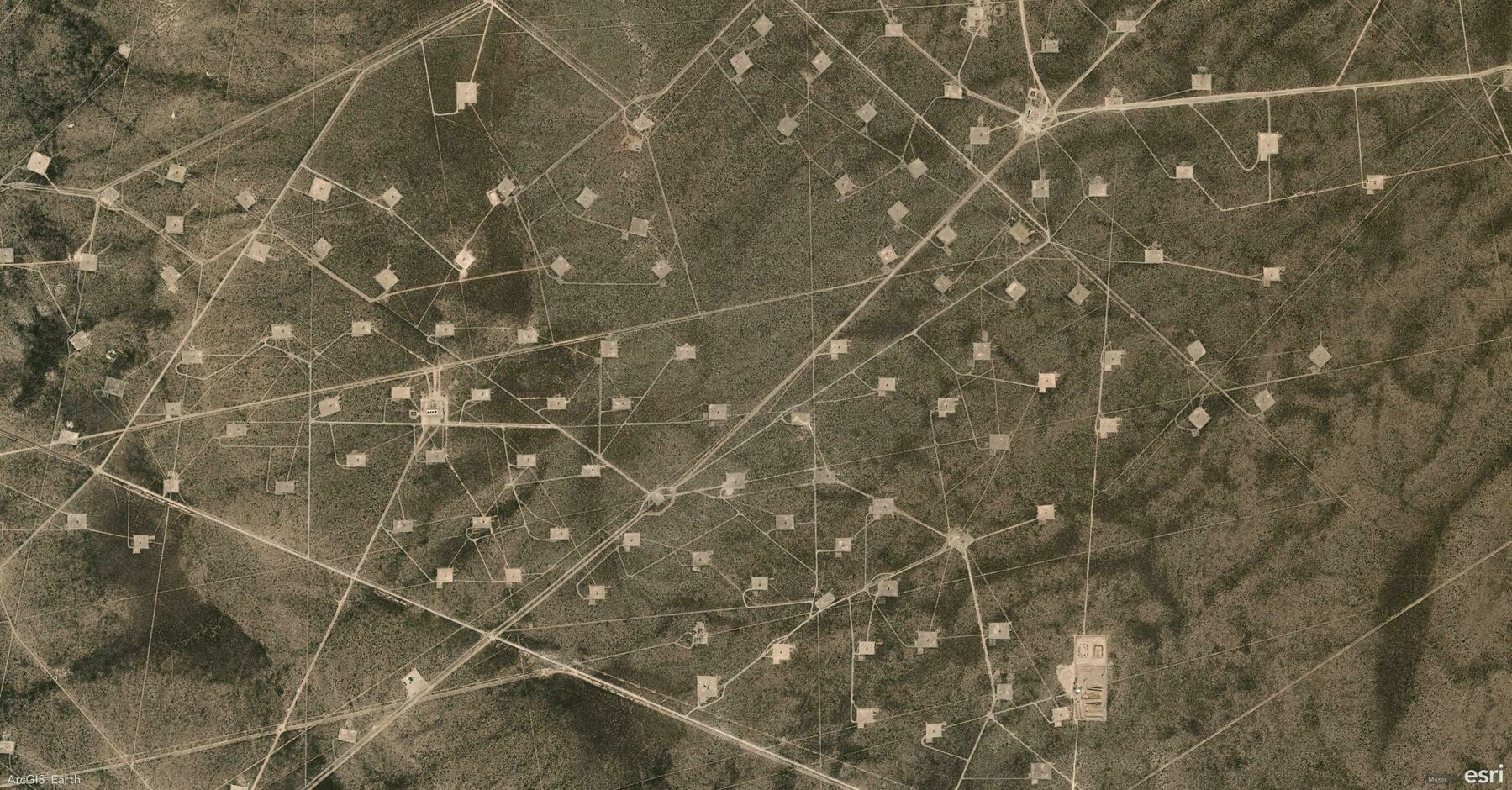
Did you know ArcGIS Earth supports over 30 data formats across 3 major categories, offering unmatched flexibility for integrating, visualizing, and analyzing geospatial data? From local files to web services, every workflow is covered.
🛠️ 3 Key Data Format Categories with 30+ Supported Formats:
1️⃣ Local Files & Packages 📁 ArcGIS Earth seamlessly integrates local datasets and offline packages for both desktop analysis and field operations, including KML/KMZ, Shapefile, Raster, 3D Models, GPX, MSPK, and more.
2️⃣ ArcGIS Services 🌐 Leverage real-time data streams and centralized services from ArcGIS Online or ArcGIS Enterprise to power dynamic, up-to-date visualizations. Supported formats include Feature Service, Map Service, Image Service, Scene Service, and more.
3️⃣ OGC Standards 🌍 Ensure global interoperability with open geospatial standards. ArcGIS Earth supports OGC-compliant data formats, making integration with third-party systems seamless. Examples include WMS, WFS, WMTS, GeoPackage, 3D Tiles, SLPK, and others.
🚀 Pro Tip: Drag and drop files directly into ArcGIS Earth or use the Add Data panel to quickly integrate multiple formats into your scene.
