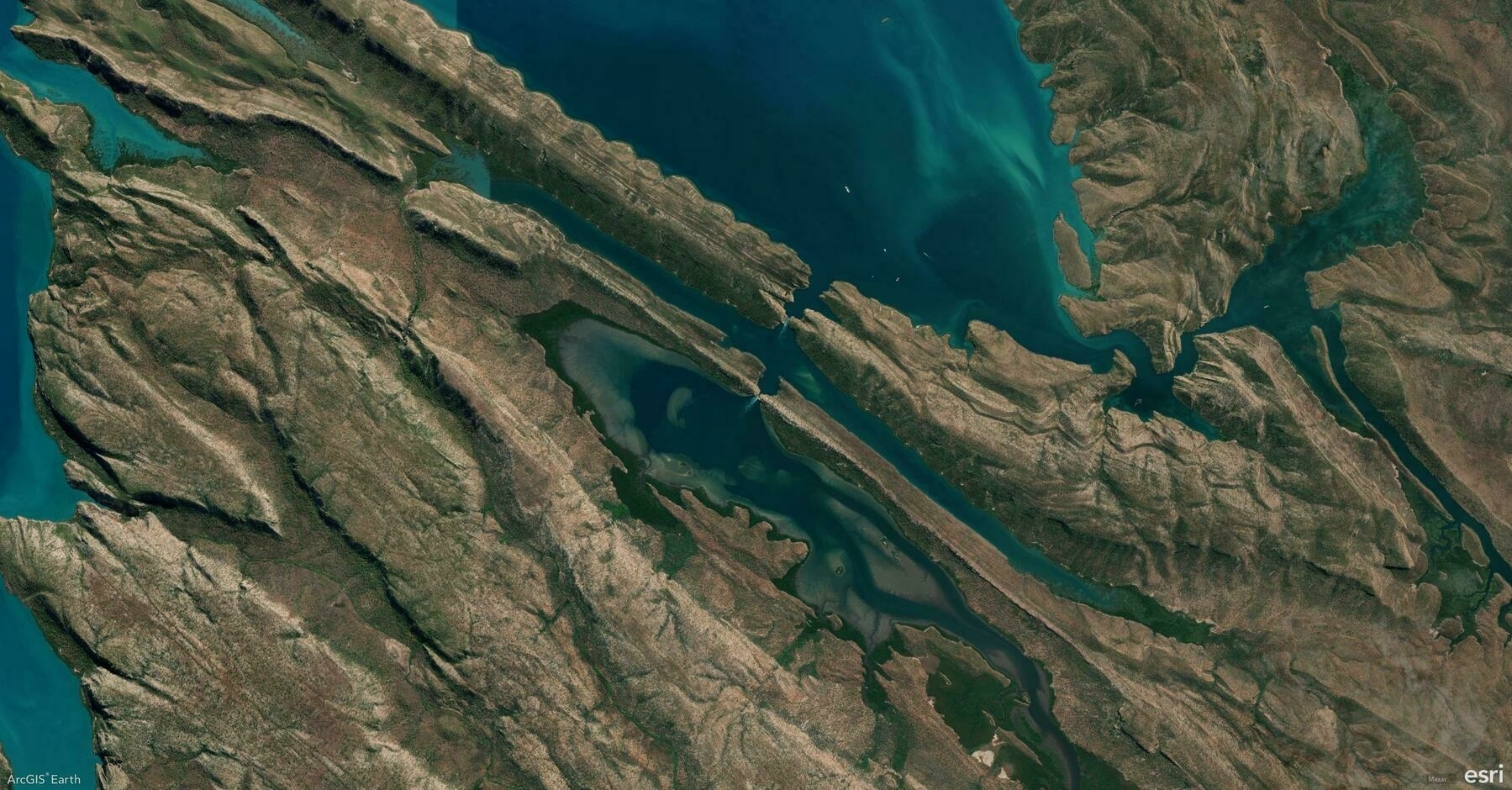
Did you know ArcGIS Earth offers versatile drawing tools that allow you to annotate maps, highlight key features, and communicate insights visually? From simple points to complex polygons, these tools empower you to tell your geospatial story effectively.
🛠️ The 4 Drawing Tools you should master:
1️⃣ Points 📍 Mark specific locations on the globe, ideal for noting observation points, field data, or areas of interest.
2️⃣ Lines & Paths 📏 Draw linear features for routes, boundaries, or infrastructure layouts. Use them to plan pathways or measure distances accurately.
3️⃣ Polygons 🛑 Outline areas of interest for zoning, land-use mapping, or risk assessment.
4️⃣ Overlays 🖼️ Add Ground Overlays or Screen Overlays to integrate external images and maps directly onto your scene, providing additional context and visual references.
🚀 Pro Tips:
1️⃣ Freehand Drawing Template: Enable Freehand Mode while drawing to create smooth, organic shapes for polygons and lines.
2️⃣ Right-Click for Precision: Right-click during drawing to manually input coordinates, distance, or angle values for highly accurate geometry placement.
