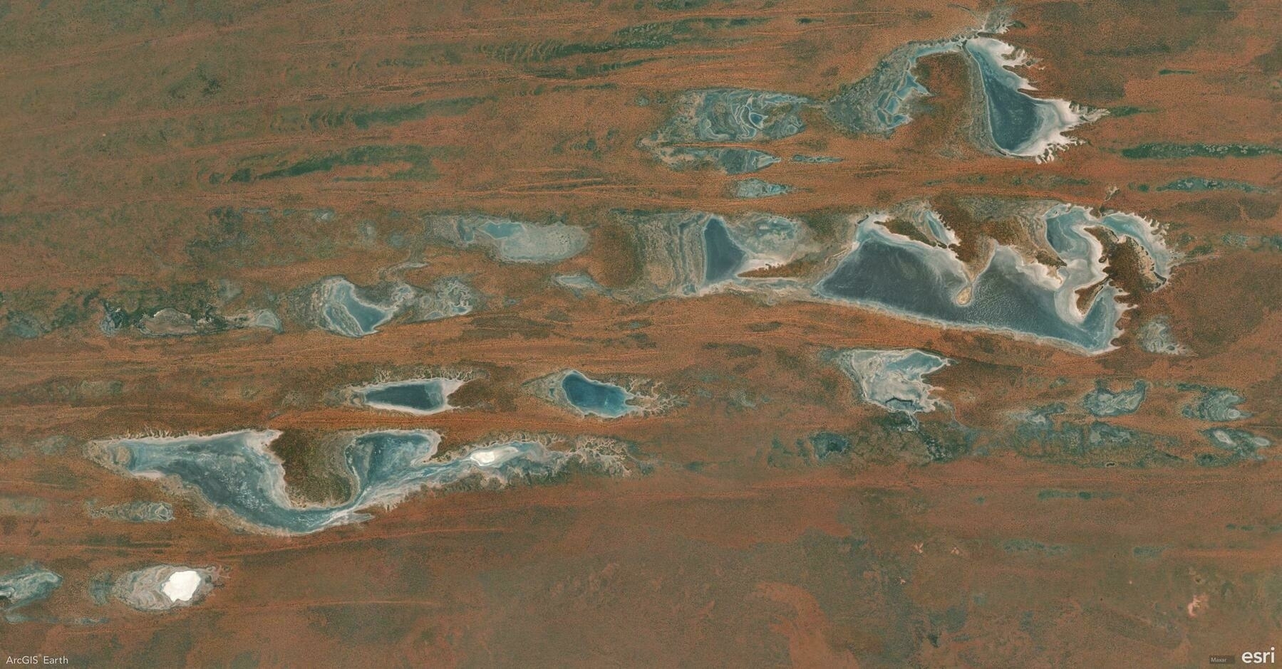
Did you know that in ArcGIS Earth, basemaps and terrain layers are more than just visual backdrops? They’re powerful tools for adding context, clarity, and insight to your geospatial data. Whether sourced from ArcGIS Online, your organization’s ArcGIS Enterprise, or your own custom data, you have full control over your map’s foundation.
🛠️ 3 Ways to Elevate Your Map with Basemaps & Terrain:
1️⃣ Choose the Perfect Basemap 🗺️ Select from imagery, topographic, streets, or hybrid basemaps to match your project’s needs.
2️⃣ Enable Realistic Terrain 🌄 Enhance your 3D views with detailed terrain layers that bring elevation and topography to life.
3️⃣ Use Personalized Basemaps & Terrain 📂 Go beyond default options by adding your own data as a custom basemap or terrain, tailoring your visualizations to project-specific needs.
🚀 Pro Tips:
1️⃣ Merge Local Rasters for Terrain: Add multiple local elevation rasters at once—ArcGIS Earth will automatically merge them into a unified terrain layer.
2️⃣ Layer Order Matters: Multiple elevation sources can overlap, and their order defines the final elevation surface.
