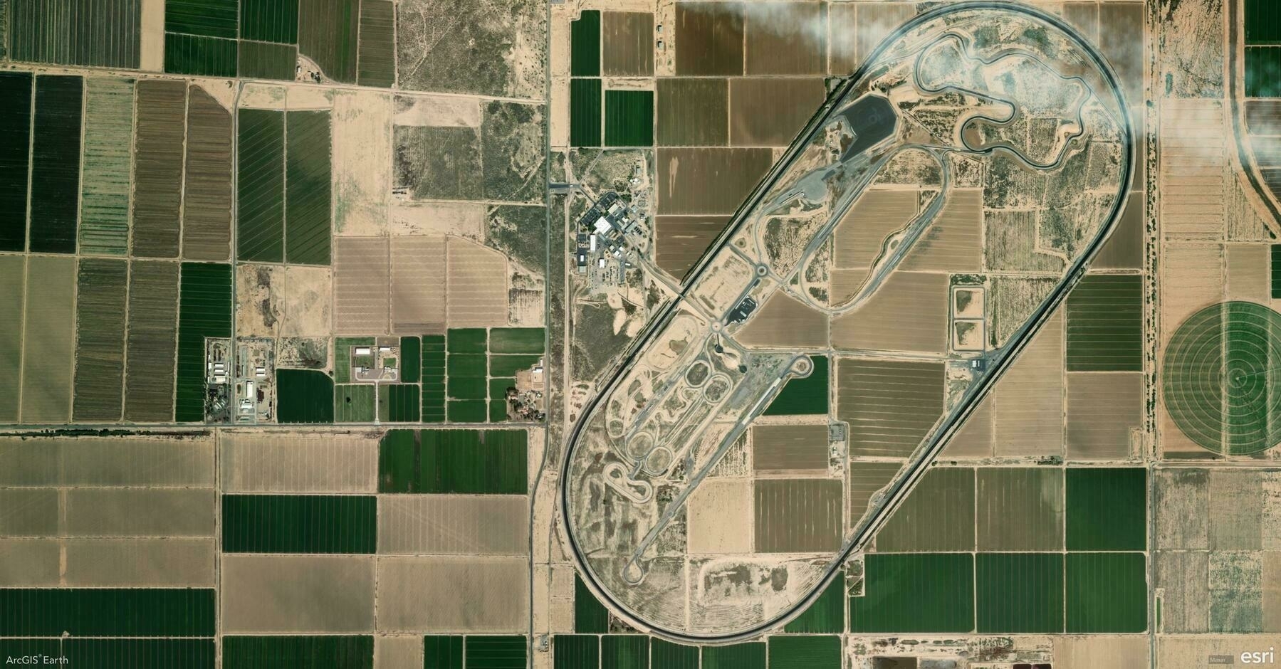
Did you know that ArcGIS Earth’s Search tool enables you quickly locate places, addresses, and coordinates anywhere in the world? Powered by Esri’s World Geocoding services, your organization’s custom geocoding services, or the built-in XY provider for offline environments, this tool ensures you can always find what you need—online or offline.
🛠️ 3 Ways to Maximize the Search Tool:
1️⃣ Search by Place or Address 📍 Quickly locate a city, landmark, street address, or even a country by entering it into the search bar. ArcGIS Earth automatically adjusts the extent, ensuring that the view is properly zoomed. For tailored results, use your organization’s geocoding services or access global data through Esri’s World Geocoding Services.
2️⃣ Search by Coordinates 🌐 Find precise locations by inputting latitude/longitude, MGRS (Military Grid Reference System), or UTM (Universal Transverse Mercator) values. ArcGIS Earth’s built-in XY provider ensures smooth coordinate searches, even offline.
3️⃣ Save and Revisit Search Results 💾 Save search results as drawings to revisit key locations quickly. This is ideal for managing project sites or organizing fieldwork locations for seamless navigation.
⚡ Pro Tip: Use locators from Mobile Scene Packages (MSPK) for offline geocoding, adding extra flexibility to your project workflows.
