Did you know?
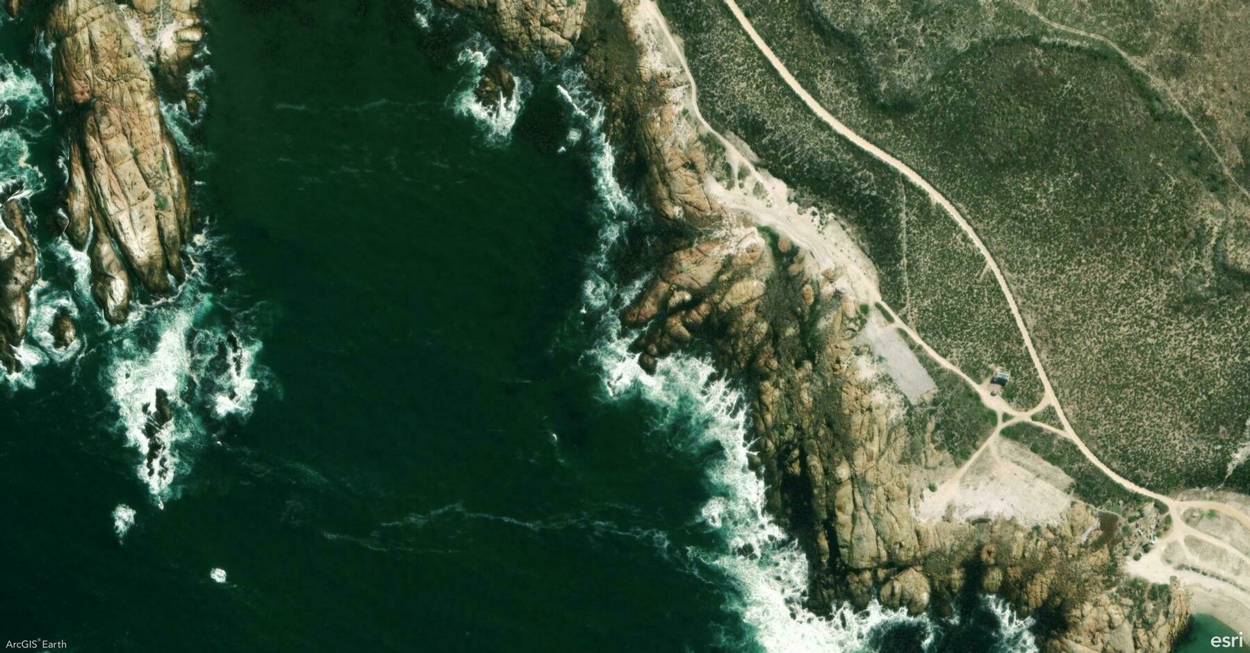
ArcGIS Earth allows you to elevate your 3D visualizations with Atmosphere Effects and Terrain Exaggeration. These tools can bring your data to life by adding depth, realism, and emphasis to landscapes and terrain analysis.
🛠️ 2 Powerful Ways to Boost Your 3D Visualization:
1️⃣ Add Realism with Atmosphere Effects 🌫️ Switch between None, Horizon Only, and Realistic atmosphere settings to control haze and depth in your scene.
2️⃣ Amplify Terrain with Exaggeration ⛰️ Adjust the terrain scale from 0–100, or up to 1,000 with admin configuration, to highlight geological features, flood risks, or urban developments.
🚀 Pro Tip:
Pair atmosphere effects with terrain exaggeration to create stunning visuals that resemble a Chinese landscape painting, blending subtle depth and dramatic elevation for both artistic and analytical impact.