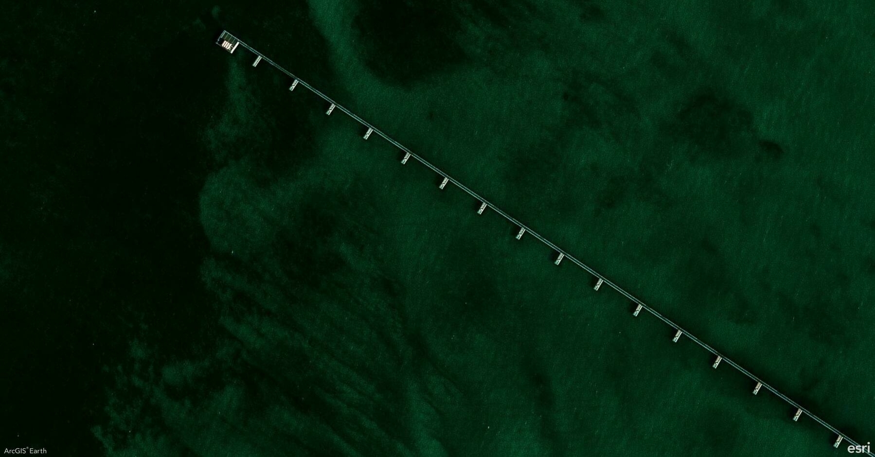
Did you know? ArcGIS Earth’s Elevation Profile tool allows you to visualize elevation changes along any path, offering valuable insights for terrain analysis, route planning, and risk assessment. You can easily generate interactive profiles from drawn lines, KML paths, or by using the Measure tool, making it a powerful feature for both analysis and presentation.
🛠️ 3 Powerful Ways to Maximize the Elevation Profile Tool:
1️⃣ Visualize Terrain Changes in Real-Time 🌄 Quickly generate an elevation profile by sketching a path or right-clicking an existing drawing line or KML line and selecting Elevation Profile. Instantly see how terrain rises and falls, making this perfect for planning hiking trails, infrastructure routes, or assessing construction sites.
2️⃣ Analyze Elevation and Slope Metrics 📊 Gain immediate insights with detailed metrics like minimum, average, and maximum elevation, total elevation gain/loss, and slope percentages. This data is essential for identifying high-risk landslide zones, optimizing transportation routes, or evaluating flood-prone areas.
3️⃣ Interact with and Share Profiles 🖱️🖼️ Hover over the profile to check exact elevation, distance, and slope data or double-click to zoom directly to any point on the map. Easily export the profile as an image for reports or presentations, making it ideal for sharing insights with stakeholders and improving decision-making.
🚀 Pro Tips:
1️⃣ Flip Direction: Reverse the profile path for new insights using the Flip Direction tool.
2️⃣ Spacebar Lock: Press the Spacebar to lock onto specific points for precise elevation and slope readings.
3️⃣ Mobile to Desktop Integration: Record routes with GPS tracking on mobile and analyze elevation profiles on desktop for deeper insights.
