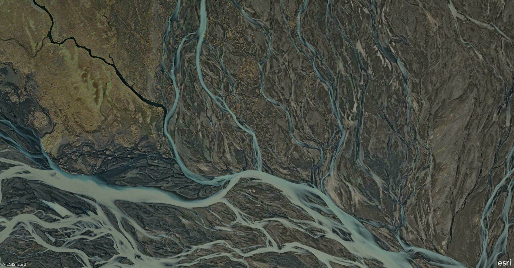
Did you know?
ArcGIS Earth’s Viewshed Analysis tool allows you to visualize what areas are visible or hidden from a specific location. This powerful feature helps you assess line-of-sight coverage, making it essential for urban planning, security assessments, and infrastructure development.
🛠️ How to Maximize the Viewshed Tool:
Set an observer point anywhere on the map, and ArcGIS Earth will instantly generate a viewshed area, highlighting visible regions in green and obstructed areas in red. Easily adjust the observer’s height, viewing angle, and distance range to analyze how terrain, buildings, or other obstacles impact visibility. This tool is perfect for evaluating the placement of security cameras, communication towers, or scenic viewpoints.
🚀 Pro Tips:
1️⃣ Adjust Observer Height: Increase the observer’s elevation to analyze visibility from elevated structures like towers or rooftops.
2️⃣ Customize Viewing Angle: Narrow or widen the viewing angle to focus on specific areas or broaden the analysis.
