Did you know?
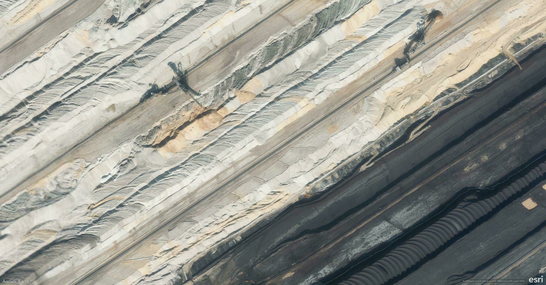
ArcGIS Earth makes it effortless to export and share your current map view as a high-quality image, a professional map layout, or a print-ready file. Whether you’re preparing a presentation, designing a poster, or sharing insights with your team, ArcGIS Earth’s export tools help you deliver visually compelling and informative maps.
🛠️ How to Export and Share Your Map Views:
1️⃣ Design a Custom Map Layout 🗺️ Click Export > Create Map Layout to generate a map with your scene view, title, north arrow, and scale bar. Add more context with a legend, descriptive text, images, or dynamic text like scale and coordinates.
2️⃣ Personalize for Any Purpose ✏️ Adjust the paper size (default A4), orientation (portrait or landscape), and margins. Use Scene Only for a minimalist view or add visual elements for more context. Double-click the scene to zoom, pan, and rotate for the perfect angle.
3️⃣ Export, Email, or Print Instantly 📤 Once complete, choose to: Export as Image for reports or presentations. Email the current view directly as an attachment. Print for meetings, displays, or field use.
🚀 Pro Tips:
1️⃣ Custom Branding: Insert local images or your company logo for a branded, professional touch.
2️⃣ Fine-Tune Your View: Double-click the scene in the layout to adjust the camera view before exporting.
