Puran
TIL Photos Reading Weekly Current Shelf Search Stats
  • 2025-01-18

    Today started early as I tidied up the house and moved out the sofa. I received disappointing news that the conference schedule was refused, but my lead actively followed up.

    My colleague’s gifted piano was delivered, and Xiaoyan even played a few simple tunes.

    In the afternoon, Xiaoyan got a flu shot while I organized the house before joining her at our classmate’s place. We enjoyed the movie Her Story and a delicious homemade feast.

    Xiaoyan tried playing the piano and surprisingly managed to play some simple tunes.
    → 11:38 PM, Jan 18
    Also on Bluesky
  • 2025-01-17

    Today brought a sense of relief as everything I had worried about was finally resolved. I successfully rescheduled my visa interview and completed all the required documents.

    Our show rehearsals went well, and I finished the last video, which turned out great. Unfortunately, one of my colleagues caught the flu and can’t attend the annual meeting.

    In the evening, Xiaoyan and I enjoyed Luosifen at Guilin Restaurant. It had been a while, and I especially loved their crispy and flavorful Guo Shao. These past few days, Hamer has been having so much fun at hometown that we’ve had little chance to sit down and chat with her.

    Colleagues are preparing for the year-end party.
    → 10:53 PM, Jan 17
    Also on Bluesky
  • 🌍 #ArcGISEarth230Tips | Tip 13: Export and Share Stunning Map Views 🖼️📤

    Did you know?

    ArcGIS Earth makes it effortless to export and share your current map view as a high-quality image, a professional map layout, or a print-ready file. Whether you’re preparing a presentation, designing a poster, or sharing insights with your team, ArcGIS Earth’s export tools help you deliver visually compelling and informative maps.

    🛠️ How to Export and Share Your Map Views:

    1️⃣ Design a Custom Map Layout 🗺️ Click Export > Create Map Layout to generate a map with your scene view, title, north arrow, and scale bar. Add more context with a legend, descriptive text, images, or dynamic text like scale and coordinates.

    2️⃣ Personalize for Any Purpose ✏️ Adjust the paper size (default A4), orientation (portrait or landscape), and margins. Use Scene Only for a minimalist view or add visual elements for more context. Double-click the scene to zoom, pan, and rotate for the perfect angle.

    3️⃣ Export, Email, or Print Instantly 📤 Once complete, choose to: Export as Image for reports or presentations. Email the current view directly as an attachment. Print for meetings, displays, or field use.

    🚀 Pro Tips:

    1️⃣ Custom Branding: Insert local images or your company logo for a branded, professional touch.

    2️⃣ Fine-Tune Your View: Double-click the scene in the layout to adjust the camera view before exporting.
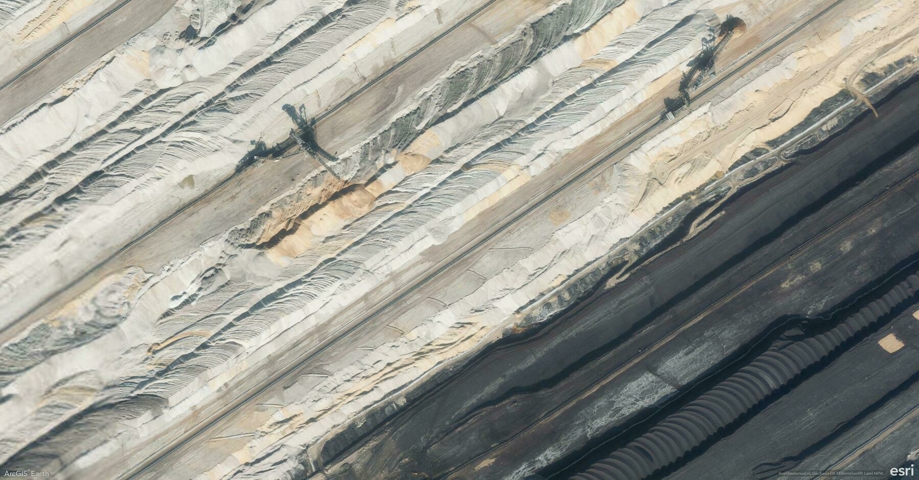
    Screenshot of Elsdorf, Germany, from ArcGIS Earth
    → 10:23 PM, Jan 17
    Also on Bluesky
  • 2025-01-16

    Today was filled with ups and downs. After preparing visa documents and adjusting my resume, I discovered a past visa denial, forcing me to redo the DS-160 form and postpone my interview by a day.

    During rehearsal, a small incident occurred because of props. Later, I practiced another dance routine and struggled with reversing during driving practice, which left me feeling frustrated.

    Dad was pusing uncle in a wheelchair.
    → 10:17 PM, Jan 16
    Also on Bluesky
  • 🌍 #ArcGISEarth230Tips | Tip 12: See Beyond with the Viewshed Analysis Tool 🔭🌄

    Did you know?

    ArcGIS Earth’s Viewshed Analysis tool allows you to visualize what areas are visible or hidden from a specific location. This powerful feature helps you assess line-of-sight coverage, making it essential for urban planning, security assessments, and infrastructure development.

    🛠️ How to Maximize the Viewshed Tool:

    Set an observer point anywhere on the map, and ArcGIS Earth will instantly generate a viewshed area, highlighting visible regions in green and obstructed areas in red. Easily adjust the observer’s height, viewing angle, and distance range to analyze how terrain, buildings, or other obstacles impact visibility. This tool is perfect for evaluating the placement of security cameras, communication towers, or scenic viewpoints.

    🚀 Pro Tips:

    1️⃣ Adjust Observer Height: Increase the observer’s elevation to analyze visibility from elevated structures like towers or rooftops.

    2️⃣ Customize Viewing Angle: Narrow or widen the viewing angle to focus on specific areas or broaden the analysis.

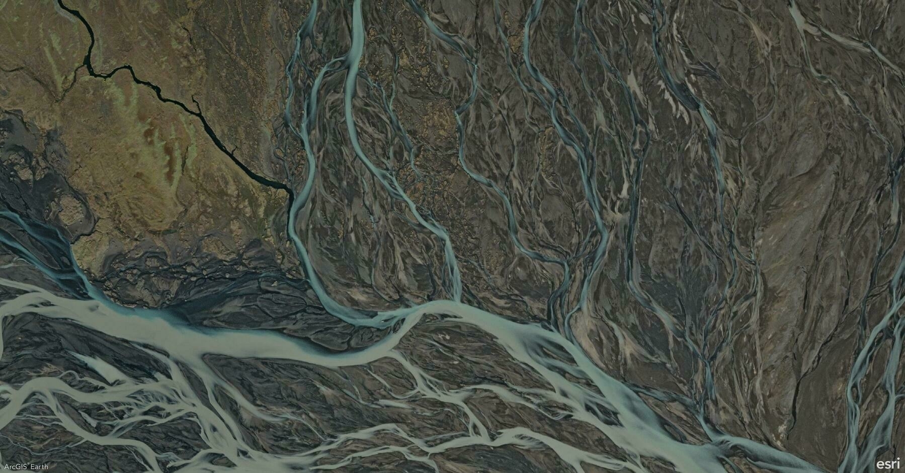
    Screenshot of Southern Region, Iceland, from ArcGIS Earth
    → 9:50 PM, Jan 16
    Also on Bluesky
  • 2025-01-15 TIL: Placify and Artab

    2025-01-15 TIL: Placify and Artab

    🌱

    Placify

    At Placify, we aim to Create a truly personal map—one that lets you gather and organize all the place-related content you’ve saved across different platforms.

    • The most beautiful things in life are not just things. They are people, places, memories, and pictures.

    Artab

    Get Inspired by the World’s Greatest Artworks in Every New Tab.

    → 10:56 PM, Jan 15
    Also on Bluesky
  • 2025-01-15

    Today was mostly dedicated to handling my U.S. visa application after receiving the invitation letter. I spent the afternoon taking a visa photo, completing the DS-160 form, and scheduling an appointment for the visa interview with collegues.

    In the morning, I joined our team meeting on AI topics and later brainstormed presentation ideas with the PEs. After the meeting, I rushed to meet a friend for a final frisbee game before the new year.

    My uncle was discharged from the hospital and returned home last night.
    → 10:51 PM, Jan 15
    Also on Bluesky
  • 🌍 #ArcGISEarth230Tips | Tip 11: Master Visibility Analysis with the Line of Sight Tool 👁️📏

    Did you know?

    ArcGIS Earth’s Line of Sight tool allows you to instantly analyze visibility between an observer and one or more target points. This dynamic tool helps you evaluate clear and obstructed views in both 2D and 3D scenes, making it essential for security planning, infrastructure design, and environmental analysis.

    🛠️ 2 Powerful Ways to Use the Line of Sight Tool:

    1️⃣ From Point: Analyze Static Views📍

    Quickly analyze visibility by clicking to set the observer and target points. Green lines show clear views, and red lines highlight obstructions. Drag points or edit coordinates for precision—ideal for planning camera placements, communication towers, or observation decks.

    2️⃣ Animation: Simulate Moving Perspectives🚗✈️

    Take visibility analysis to the next level by creating an animated line of sight. Set a moving observer along a path—like a vehicle route or a drone flight path—and analyze how visibility changes in motion. You can select predefined vehicle or aircraft models or upload custom 3D models to reflect real-world scenarios. Adjust the animation speed, model offsets, and color schemes to fine-tune your analysis. This is ideal for assessing traffic surveillance, patrol routes, or aerial monitoring.

    🚀 Pro Tips:

    1️⃣ Terrain Precision: Press T while placing points to snap them to the terrain surface for more accurate results.

    2️⃣ Observer Perspective: Use the Apply Camera button to match the scene view with the observer’s position for a realistic perspective.

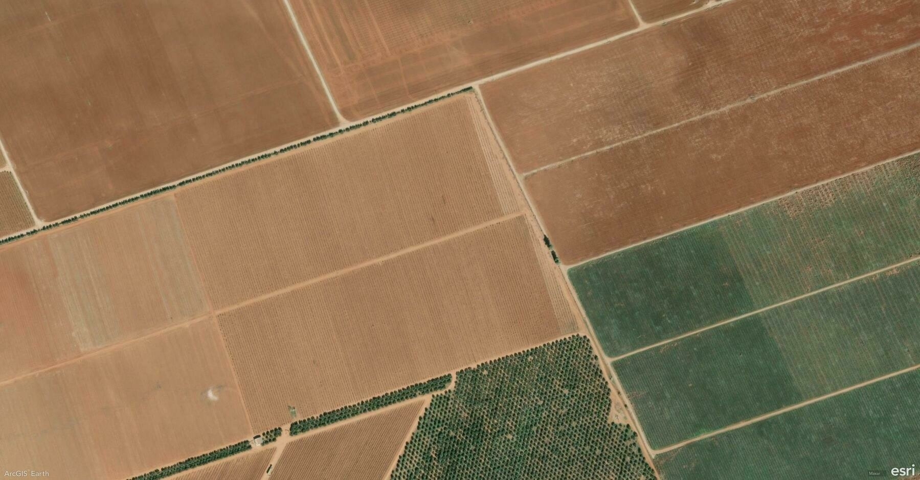
    Screenshot of Baja California, Mexico, from ArcGIS Earth
    → 10:12 PM, Jan 15
    Also on Bluesky
  • 2025-01-14 TIL: WWE's "Raw" and "SmackDown"

    2025-01-14 TIL: WWE’s “Raw” and “SmackDown”

    🌱

    WWE Raw and SmackDown

    WWE’s “Monday Night Raw” and “Friday Night SmackDown” are the company’s two flagship programs, each offering unique content and styles to engage a wide audience.

    • Both shows feature scripted storylines and predetermined match outcomes, which are standard in professional wrestling to enhance entertainment.
    • Despite being scripted, the physical performances are very real, requiring wrestlers to undergo rigorous training to perform moves safely.

    Personally, I found some segments uncomfortable to watch during last Saturday’s broadcast.

    → 10:05 PM, Jan 14
    Also on Bluesky
  • 2025-01-14

    Today mirrored yesterday—busy but still leaving important tasks unfinished.

    I spent much time rehearsing, especially improving the dance routine.

    At lunch, Hamer video-called me in tears because her homework got wet, and she blamed Grandma. I comforted her and helped calm her down.

    In the evening, I played men’s doubles with a colleague, and we had great teamwork with many exciting rallies—the best match so far. Xiaoyan unexpectedly came home early and went straight to bed, which surprised me.

    Hamer carried her backpack and pulled her suitcase by herself to catch the train last Saturday.
    → 9:45 PM, Jan 14
    Also on Bluesky
← Newer Posts Page 43 of 112 Older Posts →
  • RSS
  • JSON Feed
  • Lucky
  • Archive
  • About