Puran
Today I Learned ArcGIS Earth Photos Reading Search Stats
  • 2025-03-16

    On a whim, I decided to pick up Xiaoyan from the airport. After putting Hamer to bed, I showered and headed out, only to realize the airport express had stopped running. I took a taxi instead, dozing off on the way. At the terminal, I wandered around, ate, and watched Severance until Xiaoyan arrived. Filming her as she walked past, I followed quietly—she was completely shocked when she finally noticed me.

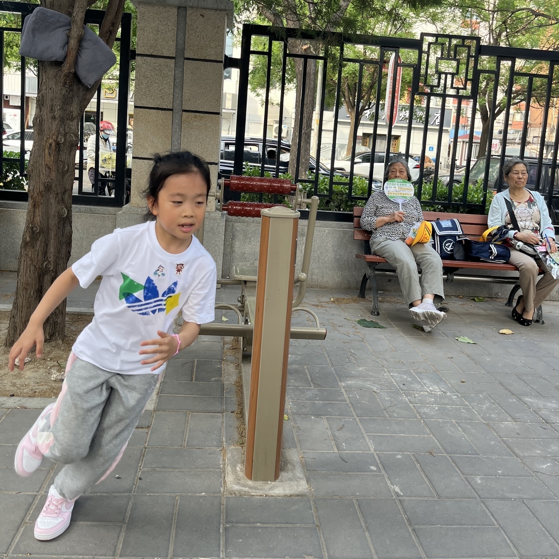
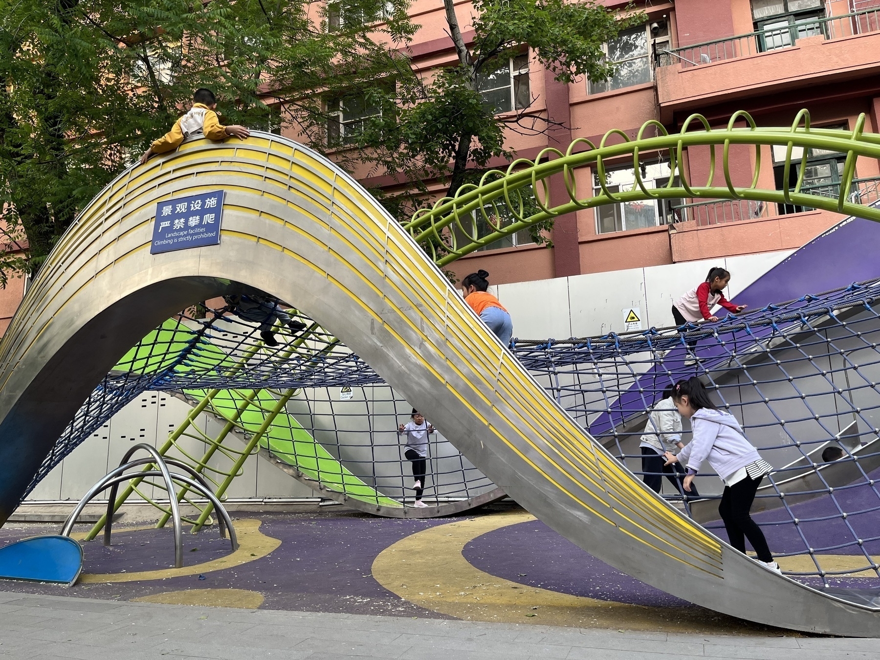
    In the morning, Hamer made hamburgers again, even packing one for her classmate. After breakfast, we finished Win or Losein a cozy, darkened room. Later, we played with her classmate at The Temple of Earth Park, enjoying jump rope and workout areas filled mostly with girls. The fun continued with badminton in the evening, but by night, Hamer was feeling down, wondering why weekends couldn’t be school days instead.

    Xiaoyan walked toward me, but she didn’t notice me at all.
    → 9:26 PM, Mar 17
    Also on Bluesky
  • 🌍 #ArcGISEarth230Tips | Tip 39: Capture & Share Your Journeys with Mobile GPS Tracks! 📍🚶‍♂️📲

    Did you know?

    ArcGIS Earth Mobile lets you record real-time GPS tracks, replay routes, and share them as KMZ files. Perfect for fieldwork, navigation, and detailed route analysis!

    🛠️ How to Record & Share GPS Tracks:

    1️⃣ Configure Your Tracking:

    • Tap the Toolbox 🧰 → Track 📍.
    • Adjust GPS accuracy and streaming frequency in Settings ⚙️.
    • Choose your tracking style (line/footprint) and enable Z-values for elevation.

    2️⃣ Record & Manage:

    • Tap Start ▶️ to begin. Pause ⏸️ and resume as needed.
    • Tracks record in the background. Stop ⏹️ to finish and save.

    3️⃣ Analyze Your Track:

    • Access saved tracks in “My Tracks.”
    • View detailed stats: origin, distance, duration, speed, and elevation profiles.

    4️⃣ Share Your Data:

    • Export as KMZ for offline use.
    • Upload to ArcGIS Enterprise/Online for collaboration.
    • Create a shareable card with a snapshot and elevation profile.

    🚀 Pro Tips:

    • Use background tracking for seamless recording.
    • Import tracks into ArcGIS Earth Desktop for advanced 3D analysis.
    Screenshot of Ngari, China, from ArcGIS Earth
    → 8:53 PM, Mar 17
    Also on Bluesky
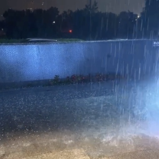
  • Snowing heavily, with large snowflakes.

    → 11:20 PM, Mar 15
    Also on Bluesky
  • 2025-03-15

    Today, Hamer and I joined the slightly chaotic Hot Chocolate Run in Chaoyang Park, where we ran with Doubao, and the kids had a blast. We had lunch nearby with friends.

    I took Hamer for a stroll on Yifan Street, which led to new discoveries and buying burger buns for homemade burgers.

    In the evening, heavy snowfall surprised us and made us happy. Hamer and I ended the day with homemade burgers and Win or Lose TV.

    Hot Chocolate Run
    → 11:17 PM, Mar 15
    Also on Bluesky
  • 2025-03-14

    Last night, I had nasal congestion, waking up twice. Saline spray helped. Daytime was symptom-free, but evening brought eye discomfort.

    Work was bug-fixing and cross-testing, lacking enthusiasm. I did a short gym session at noon.

    Hamer and her classmate played happily, even tried ballet this evening.

    I’m exploring Google Gemini, curious about its features, after hearing about the new Flash release.

    The peach tree, where Hamer and her classmastes often climb, is bursting into bloom
    → 10:01 PM, Mar 14
    Also on Bluesky
  • 🌍 #ArcGISEarth230Tips | Tip 38: Create & Share Interactive Tours on Mobile! 🎥📲

    Did you know?

    ArcGIS Earth Mobile lets you build engaging, interactive tours using geotagged photos and placemarks? Document your travels, showcase locations, or guide viewers through spatial data – and even record your tour as a shareable video!

    🛠️ How to Create a Tour in ArcGIS Earth Mobile:

    1️⃣ Add Tour Stops:

    • Open the Toolbox 🧰, select “Tour,” and add Tour stops.
    • Choose from existing placemarks or search for locations.
    • Use geotagged photos from your album or capture new ones (location data required).

    2️⃣ Customize & Preview:

    • Rename your tour and add a detailed description.
    • Use “Overview” to see all stops on a 3D map, or “Play” ▶️ to preview and adjust viewpoints and playback duration.
    • Edit stops: reorder, add text, and customize path colors.

    3️⃣ Save & Share Your Tour:

    • Export as KMZ for sharing or upload to ArcGIS Enterprise.
    • Tap “Share” to record your tour as a video and save it to your album. (Note: Globe interaction is disabled during recording).

    🚀 Pro Tips:

    1️⃣ Utilize tours for guided fieldwork, immersive virtual storytelling, or detailed trip documentation. 2️⃣ Combine stunning 3D views with photos and text for a truly engaging experience.

    Screenshot of Paris, France, from ArcGIS Earth
    → 9:06 PM, Mar 14
    Also on Bluesky
  • 2025-03-13

    Today’s work focused on resolving code freeze issues and minor fixes, particularly in Survey123 and the attribute table.

    Hamer woke up before her alarm, eagerly getting out of bed once it rang. We shopped online for a jump rope in the morning, and when it arrived in the evening, she was thrilled. After school, she played with her classmate, had dinner with them, and stayed at her home late doing homework, only coming home around 9 PM.

    After work, I tried a Chengdu-style clay pot restaurant and was impressed. While checking Xiaoyan’s location in Thailand, I came across the Garuda, the national emblem, and also discovered the Highway Gothic, a typeface designed for federal highways.

    Chengdu-style clay pot as my dinner
    → 10:30 PM, Mar 13
    Also on Bluesky
  • 🌍 #ArcGISEarth230Tips | Tip 37: Perform Line of Sight & Viewshed Analysis on Mobile! 👀📲

    Did you know?

    With ArcGIS Earth Mobile, you can analyze visibility and obstructions in real time using Line of Sight and Viewshed Analysis—essential for urban planning, security assessments, and terrain evaluation!

    🛠️ How to Use Line of Sight & Viewshed Analysis

    1️⃣ Open the Analysis Tools Tap the Toolbox 🧰 → Select Line of Sight 👁️ or Viewshed 🌎.

    2️⃣ Perform a Visibility Analysis

    • 📍 Line of Sight – Set an observer point, then add one or more target points to check visibility.
    • 🌍 Viewshed – Place an observer location to visualize areas that are visible or obstructed based on elevation and terrain.

    3️⃣ Adjust Parameters for Accuracy

    • ✅ Green = Visible areas | ❌ Red = Obstructed areas
    • Modify observer height, visibility distance, field of view, direction, and tilt for precise analysis.

    🚀 Pro Tips

    1️⃣ Use Line of Sight to determine if a landmark, building, or terrain feature is visible from a specific location. 2️⃣ Apply Viewshed Analysis to evaluate coverage areas for security, urban planning, or telecommunications networks.

    Screenshot of Chaunsky District, Russia, from ArcGIS Earth
    → 9:40 PM, Mar 13
    Also on Bluesky
  • 2025-03-12 TIL: Model Context Protocol (MCP) and OpenAI new tools for building Agent

    2025-03-12 TIL: Model Context Protocol (MCP) and OpenAI new tools for building Agent

    💻

    Model Context Protocol (MCP)

    MCP is an open protocol that standardizes how applications provide context to LLMs. Think of MCP as a USB-C port for AI applications—just as USB-C offers a standardized way to connect devices to various peripherals, MCP provides a universal way to link AI models with different data sources and tools.

    MCP helps you build agents and complex workflows on top of LLMs, ensuring seamless integration with data and tools. It provides:

    • A growing list of pre-built integrations that LLMs can directly plug into.
    • Flexibility to switch between LLM providers and vendors.
    • Best practices for securing data within your infrastructure.

    🔗 Resources:

    • A collection of MCP servers
    • Find Awesome MCP Servers and Clients

    OpenAI New Tools for Building Agents

    A new set of APIs and tools specifically designed to simplify the development of agentic applications:

    • Responses API – Combines the simplicity of the Chat Completions API with the tool-use capabilities of the Assistants API.
    • Built-in tools – Includes web search, file search, and computer use.
    • Agents SDK – Orchestrates both single-agent and multi-agent workflows.
    • Integrated observability tools – Enables tracing and inspection of agent workflow execution.

    MCP vs. OpenAI’s Tools

    Similarities:


    • ✔️ AI Integration – Simplifies external data & tool connections.

    • ✔️ Modular Design – Expandable & adaptable.

    Differences:

    • MCP is a protocol, OpenAI’s are proprietary tools.
    • MCP is open-source for cross-platform use; OpenAI’s tools optimize for its ecosystem.
    • MCP requires a custom server, while OpenAI’s tools offer easier direct integration.
    → 9:51 PM, Mar 12
    Also on Bluesky
  • 2025-03-12

    This morning, while making a mango breakfast, Hamer accidentally cut her finger, but she handled the bleeding surprisingly calmly.

    Xiaoyan left for Thailand today—her second trip there. She had really wanted me to join her, but I hesitated and ultimately declined, which left her a bit frustrated.

    I spent most of the morning restructuring the KMZ saving function and wrapped it up in the afternoon before adjusting the UI.

    I also explored MCP technology, realizing I had overlooked its potential, and briefly checked out OpenAI’s new Agent tool.

    Hamer is practicing Ballet
    → 9:26 PM, Mar 12
    Also on Bluesky
  • 🌍 #ArcGISEarth230Tips | Tip 36: Measure Distances & Areas in 3D on Mobile! 📏📲

    Did you know?

    With ArcGIS Earth Mobile, you can measure locations, distances, areas, and 3D distances in real time—perfect for quick field analysis!

    🛠️ How to Measure in ArcGIS Earth Mobile

    1️⃣ Open the Measure Tool & Select a Measurement Type

    • 📍 Measure Location – Get longitude, latitude, and elevation at a point.
    • 📏 Measure Distance – Measure the length of a path by adding points.
    • 📐 Measure Area – Calculate the surface area of a polygon.
    • 📊 Measure 3D Distance – Find the direct, vertical, and horizontal distances between two points.

    2️⃣ Perform a Measurement Move the crosshairs to a location and tap Add ➕ to place points. You can also Undo to remove the last point or Complete to finish.

    3️⃣ Save & Copy Results Tap Copy 📋 to store the result for future use.

    🚀 Pro Tips

    🏗️ Use 3D Distance to analyze height differences between terrain, buildings, or infrastructure.

    Screenshot of Al Ahsa, Saudi Arabia, from ArcGIS Earth
    → 8:58 PM, Mar 12
    Also on Bluesky
  • 2025-03-11 TIL: GitHub Copilot in Visual Studio 2022 and new Chat in Cursor

    2025-03-11 TIL: GitHub Copilot in Visual Studio 2022

    💻

    Code with GitHub Copilot in Visual Studio 2022

    • Commit & PR Message Generation & Customization
    • Using Extensions to generate Mermaid Charts
    • Analyzing and improving code while debugging
    • Analyzing Exceptions with GitHub Copilot

    Cursor Chat

    A unified AI interface that combines Ask, Edit, and Agent modes to help you write, edit, and understand code directly in your editor. The interface offers three modes, selectable from the mode picker:

    • Agent: AI assistant that uses tools and reasoning to perform coding tasks with minimal supervision. (Agent can make up to 25 tool calls before stopping.)
    • Edit: Make single-turn edits to your code with precision and clarity.
    • Ask: Ask questions about your code, get explanations, and explore your codebase.
    → 9:59 PM, Mar 11
    Also on Bluesky
  • 2025-03-11

    Lately, my dreams have been unusually vivid. Last night, I dreamed of Xiaoyan searching for her classmates before a movie, only for everyone to regroup in front of a barbershop.

    The morning was packed with meetings, and I even forgot one due to being so focused on planning. I felt a bit down afterward, but a round of table tennis and casual chats with colleagues lifted my mood.

    In the afternoon, I tackled data storage issues, upgraded Visual Studio, and fine-tuned GitHub Copilot. Using Cursor and Claude 3.7 Sonnet, I implemented a UI design from a mockup with great results.

    In the evening, Hamer and her classmate played at home until 8:30 PM, reluctant to say goodbye.

    A young girl wearing a yellow cap and a colorful jacket stands near a pedestrian crossing, looking up with a smile.
    → 9:47 PM, Mar 11
    Also on Bluesky
  • 🌍 #ArcGISEarth230Tips | Tip 35: Create & Share Drawings on Mobile! ✏️📲

    Did you know?

    With ArcGIS Earth Mobile, you can draw, edit, and share geospatial features—including points, lines, and polygons—to enhance your spatial data collection and visualization. Whether marking key locations, sketching routes, or defining areas of interest, the drawing tools provide a simple yet powerful way to capture geospatial insights on the go!

    🛠️ How to Create & Edit Drawings in ArcGIS Earth Mobile

    1️⃣ Open Drawing Tools & Choose a Drawing Type

    • Tap the Toolbox 🧰 on the home screen, then select the Draw ✏️ tool (default: Point).
    • Choose from the following:
      • 📍 Point – Mark a specific location.
      • 📏 Line – Draw paths, routes, or boundaries.
      • 📐 Polygon – Define areas with multiple vertices.

    2️⃣ Enhanced Editing & Interaction

    • Tap a drawing to open a pop-up menu for editing attributes, adjusting styles, or deleting features.
    • Modify Shapes – Drag to adjust the position or reshape a feature.
    • Navigation Integration – Tap Navigate to open a third-party navigation app (e.g., ArcGIS Navigator, Google Maps, Apple Maps) for directions to your drawing.

    3️⃣ Sharing & Exporting Drawings

    • Manage Drawings – View all drawings in the Drawings tab in the Table of Contents.
    • Control Visibility – Show/hide individual drawings for a clutter-free map.
    • Save & Share as KMZ
      • 📂 Save as a Local KMZ File – Export selected drawings into a .kmz file.
      • ☁️ Share Across Devices – Upload to ArcGIS Online or ArcGIS Enterprise for continued editing on desktop.

    🚀 Pro Tips

    1️⃣ Use GPS 📍 to place points precisely at your current location. 2️⃣ Long-press a drawing for quick options like edit, delete, or share. ✨

    Screenshot of Shenzhen Shi, China, from ArcGIS Earth
    → 9:30 PM, Mar 11
    Also on Bluesky
  • 2025-03-10 TIL: Arcade Expression

    2025-03-10 TIL: Arcade Expression

    💻

    ArcGIS Arcade

    ArcGIS Arcade, a basic scripting language from Esri, helps you map the values you need or create completely new data values in minutes.

    • Arcade is a portable, lightweight, and secure expression language used to create custom content in ArcGIS applications. Like other expression languages, it can perform mathematical calculations, format text, and evaluate logical statements. It also supports multi-statement expressions, variables, and flow control statements.
    • Arcade’s power lies in its portability across different ArcGIS applications. It provides a consistent syntax that can run on desktop, web, and mobile devices.

    Example: Constructing an ArcGIS Earth App Link from a Feature Popup:

    var geom = Geometry($feature);
    var x = geom.x;
    var y = geom.y;
    
    // Handle the Z-coordinate, defaulting to 500 if null or empty
    var z = DefaultValue(geom.z, 500);
    
    // Function to convert Web Mercator to WGS84
    function WebMercatorToWGS84(pt) {
        var x = pt.x / 20037508.34 * 180;
        var y = pt.y / 20037508.34 * 180;
        y = 180 / PI * (2 * Atan(Exp(y*PI / 180)) - PI / 2);
        return { 'x': x, 'y': y };
    }
    
    if (geom.spatialReference.wkid == 102100) {
        var coords = WebMercatorToWGS84(geom);
        x = coords.x;
        y = coords.y;
    }
    
    url = "[www.arcgis.com/home/item...](https://www.arcgis.com/home/item.html?id=7de2582460bb47e284b2adc5e6a6753b)";
    
    url = UrlEncode(url)
    
    var earthLink = "[earth.arcgis.app](https://earth.arcgis.app/?viewpoint=cam:)" + x + "," + y + "," + z + ";" + "" + "," + "" + ";&url=" + url;
    
    return earthLink;
    
    → 10:33 PM, Mar 10
    Also on Bluesky
  • 2025-03-10

    This evening, Hamer was unusually energetic, laughing as her grandma helped her with a bath. She had eagerly insisted on her grandma’s help after finishing her homework.

    My day was mostly spent refining and recording the demo. I organized data in the morning, then customized popups with Arcade expressions in the afternoon, allowing elements to auto-generate ArcGIS Earth App Links. Later, I finalized the recording.

    Xiaoyan suggested a spontaneous trip to Thailand after her business trip, but I hesitated—I prefer well-planned travel over last-minute getaways.

    what a position while playing pingpong at noon
    → 10:07 PM, Mar 10
    Also on Bluesky
  • 🌍 #ArcGISEarth230Tips | Tip 34: Seamlessly Browse 2D & 3D Content on the Go! 🌍📲

    Did you know?

    Exploring spatial data has never been easier! With ArcGIS Earth Mobile, you can seamlessly browse 2D and 3D content, whether you’re online or working offline.

    🛠️ How to Add Data in ArcGIS Earth Mobile:

    1️⃣ There are four easy ways to add data in ArcGIS Earth Mobile:

    • Enter a URL – Add services like KML, Map, Image, Feature, or Scene Services by entering a web link.
    • Access ArcGIS Online or ArcGIS Enterprise – Browse and add organization-wide content.
    • Load Local Files – Import KML, GeoPackage, Mobile Scene Packages, Raster, and 3D models directly from your device.
    • Scan a QR Code – Quickly add data by scanning a QR code—no typing required!

    2️⃣ Enhanced Viewing & Interaction:

    • Toggle visibility – Tap the View button to show or hide layers.
    • Quick Actions – Long-press a layer to Share or Delete.
    • Identify Features – Tap a feature to view its attributes in a pop-up.

    🚀 Pro Tips

    1️⃣ Use touch gestures to zoom, pan, tilt, and rotate your 3D content for a fully immersive experience. ✨ 2️⃣ Try AR Mode – Long-press a layer to visualize data in Augmented Reality mode. 📡

    Screenshot of Los Andes, Argentina, from ArcGIS Earth
    → 9:45 PM, Mar 10
    Also on Bluesky
  • 2025-03-09

    Today was physically exhausting, and without a nap, I’m completely drained.

    We all slept in until 9 AM, then Hamer and I met her classmatte for basketball. She was shy at first but gradually warmed up, running with the ball and having fun.

    In the afternoon, we joined Xiaoyan at Urban Green café, where she wrote, Hamer drew, and I read—quiet but enjoyable. Later, I taught Hamer some badminton techniques before we all went out for luosifen.

    In the evening, Hamer eagerly helped fix a door handle, showing a growing interest in DIY projects.

    Xiaoyan wrote, Hamer drew, and I read at Urban Green Café
    → 9:50 PM, Mar 9
    Also on Bluesky
  • 2025-03-08

    I started the day early with lingering thoughts about yesterday’s demo but quickly shifted focus to home tasks. Noticing a broken light, Hamer and I went out to buy bulbs.

    We attended Into Ballet at Tianqiao Theater, where she was surprised to recognize moves she had practiced. The Butterfly Lovers rehearsal was mesmerizing, so I got tickets for the full performance in April.

    After a delicious Hunan meal, I relaxed at home while Xiaoyan and Hamer went dancing and shopping. A long nap didn’t shake my fatigue—I’ll need an early night.

    Into Ballet at Tianqiao Theater
    → 9:44 PM, Mar 8
    Also on Bluesky
  • 2025-03-07

    I started the day early, boiling eggs and sweet potatoes while structuring a solid plan for App Links with help from ChatGPT.

    My main focus at work was bug fixing, both for the current version and the demo. I spent much of the afternoon on data processing, uncertain if everything would run smoothly.

    Despite the workload, I made time for the gym at noon and followed Xiaoyan’s advice to eat dinner on time. Working late left my eyes strained, prompting Xiaoyan to joke that I should just marry my computer.

    Recently, I also discovered two fascinating performers—magician Kyle Eschen and comedian Matt Rife—both of whom left a strong impression.

    from my Mom, in hometown
    → 11:31 PM, Mar 7
    Also on Bluesky
  • 🌍 #ArcGISEarth230Tips | Tip 33: Boost Efficiency with Quick Dock Customization ⚙️🚀

    Did you know?

    ArcGIS Earth’s Quick Dock feature lets you personalize your workspace by adding, reordering, and managing frequently used tools—streamlining your workflow for faster access to key functionalities. Whether you’re navigating, analyzing, or editing, customizing the Quick Dock ensures your most-used tools are always at your fingertips.

    🛠️ How to Use Quick Dock in ArcGIS Earth:

    1️⃣ Open Quick Dock Customization 🎛️ Go to Settings > Customization to access the Quick Dock panel.

    2️⃣ Add & Arrange Tools 📌 Click a tool to add it to the Quick Dock. Drag and drop to reorder tools based on your workflow.

    3️⃣ Optimize for Efficiency ⚡ Remove unneeded tools or reset the Quick Dock to its default state.

    🚀 Pro Tips:

    1️⃣ Speed Up Your Workflow – Keep essential tools like Measure, Bookmarks, or Spatial Filters just one click away. 🚀

    Screenshot of Ouargla, Algeria, from ArcGIS Earth
    → 11:15 PM, Mar 7
    Also on Bluesky
  • 2025-03-06

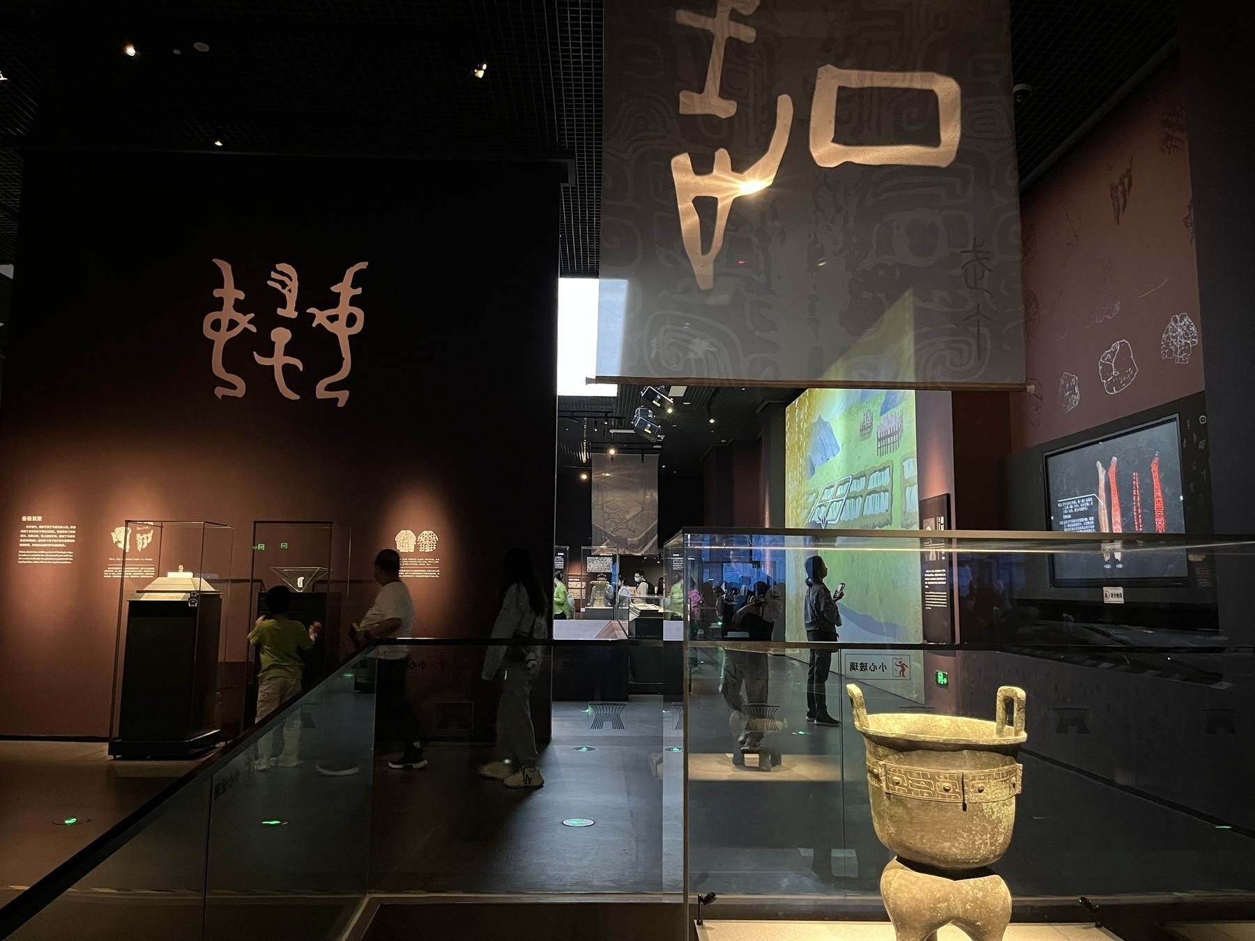
    I started the day early, remembering that I had unused museum tickets from before the New Year and deciding to visit this Sunday.

    Hamer and I made a fruit-based breakfast together before I dropped her off and headed to the office. My plan to finish the app link demo was delayed by a bug that took over an hour to fix. After discussions and focused effort, I finally wrapped it up by 4 PM. By 8:30 PM, I was mentally drained.

    A midday table tennis match with colleagues, filled with laughter and a playful poem, was a bright spot in the day.

    → 10:58 PM, Mar 6
    Also on Bluesky
  • 🌍 #ArcGISEarth230Tips | Tip 32: Focus Your Analysis with Spatial Filters 🎯🔍

    Did you know?

    ArcGIS Earth’s Spatial Filter allows you to include or exclude specific buildings, trees, 3D objects, and points within a designated area. Whether you’re analyzing urban infrastructure, vegetation impact, or site planning, this tool helps you focus on the most relevant features while eliminating visual clutter.

    🛠️ How to Use Spatial Filters in ArcGIS Earth:

    1️⃣ Activate the Spatial Filter 🎛️ Right-click a 3D object or point scene layer in the Table of Contents and select “Spatial Filter”.

    2️⃣ Define Your Area of Interest 📌 Draw one or more polygons to include or exclude features, or manually select individual features to isolate or remove them from the view.

    3️⃣ Apply and Refine Your View 🔲 Choose Exclude to hide features inside the selection or Include to display only the selected features.

    🚀 Pro Tips:

    1️⃣ Improve Data Accuracy – Use spatial filters to hide outdated data and replace it with updated information. 📍 2️⃣ Apply multiple spatial filters for a focused, clear, and efficient analysis. 🔍

    Screenshot of Minton, Canada, from ArcGIS Earth
    → 9:44 PM, Mar 6
    Also on Bluesky
  • 2025-03-05

    Today was fairly smooth, though I didn’t complete everything I had planned. I spent the afternoon refining the UI but got frustrated when things didn’t go as expected.

    At noon, I played frisbee, enjoying the warm weather and noticing my throws improving.

    In the evening, after shopping with Hamer and Xiaoyan, I planned to work at the office but forgot my access badge.

    There was also a brief scare when my stepmother couldn’t find Hamer at the mall, but I reassured her, trusting that Hamer would find her soon.

    A person is holding a yellow disc labeled "Yikun Discs Ultimate" in a park with leafless trees.
    → 10:34 PM, Mar 5
    Also on Bluesky
  • 🌍 #ArcGISEarth230Tips | Tip 31: Effortless 3D Navigation with SpaceMouse 🖱️🚀

    Did you know?

    ArcGIS Earth now supports 3DConnexion SpaceMouse, offering an intuitive, smooth, and immersive way to navigate 3D environments. With 6-Degrees-of-Freedom (6DoF) control, you can effortlessly pan, tilt, zoom, rotate, and fly through your data—perfect for detailed terrain exploration, city modeling, and underground navigation.

    🛠️ How to Use SpaceMouse in ArcGIS Earth:

    1️⃣ Enable SpaceMouse Navigation 🛠️ Go to Settings > Navigation and toggle Enable Space Mouse to activate support.

    2️⃣ Seamlessly Navigate in 3D 🌍 Experience real-time, fluid movement with precise control for exploring terrain, buildings, and subsurface data.

    3️⃣ Customize Controls for Your Workflow ⚙️ Adjust navigation speed and sensitivity for high-precision mapping or smooth overviews.

    🚀 Pro Tips:

    1️⃣ Fly Through Your Data – Effortlessly glide through terrain, buildings, and 3D models for in-depth analysis. 🏙️

    Screenshot of Northeastern Region, Iceland, from ArcGIS Earth
    → 10:15 PM, Mar 5
    Also on Bluesky
← Newer Posts Page 6 of 38 Older Posts →
  • RSS
  • JSON Feed
  • Lucky
  • Archive
  • About