Puran
TIL Photos Reading Weekly Current Shelf Search Stats
  • 🌍 #ArcGISEarth230Tips | Tip 8: Tell Interactive Stories with Smart Bookmarks 📍🔖

    Did you know that in ArcGIS Earth, bookmarks do more than save locations—they let you craft interactive, dynamic stories? By capturing specific views and scene settings, you can seamlessly revisit important locations or create stunning visual tours for presentations and analysis.

    🛠️ 4 Creative Ways to Use Bookmarks in ArcGIS Earth:

    1️⃣ Capture and Revisit Detailed Scenes 🎯 Bookmarks save more than just a location—they capture the entire scene, including camera position, basemaps, layer visibility, and daylight settings. Instantly return to complex views, like tracking a hurricane’s path over several days or revisiting key project stages.

    2️⃣ Organize Workflows with Bookmark Groups 🗂️ Keep your projects structured by grouping bookmarks into categories based on project phases, regions, or themes. This makes navigating between analysis stages or geographic areas effortless.

    3️⃣ Create Engaging Bookmark Presentations 🎬 Transform a sequence of bookmarks into an automated presentation that guides viewers through your data. Customize transitions, playback speed, and add descriptive pop-ups to tell a compelling, interactive story.

    4️⃣ Export and Share Your Story 🌍 Export bookmark groups as KMZ files or images to easily share your maps with collaborators. You can even convert bookmarks into movies for polished, impactful storytelling.

    🚀 Pro Tips:

    1️⃣ Drag & Drop: Reorder bookmarks by simply dragging them to create smooth, logical tours.

    2️⃣ Add Visuals: Customize each bookmark with images and descriptions to highlight critical insights.
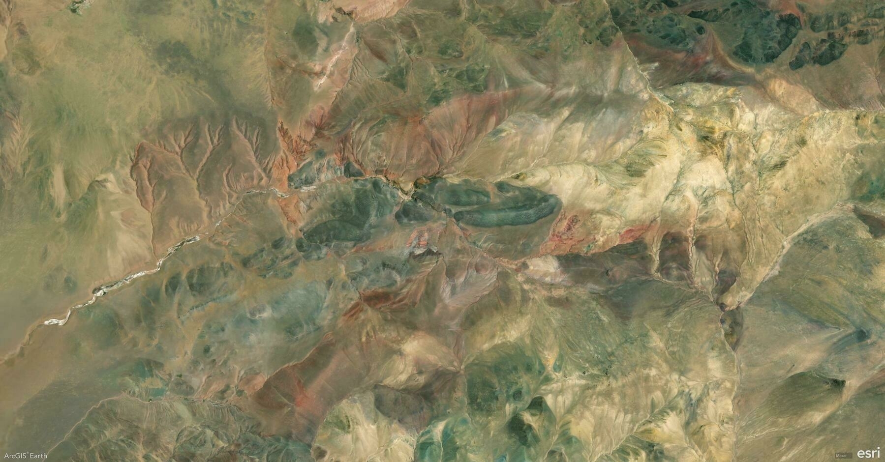
    Screenshot of Ngari, China, from ArcGIS Earth
    → 10:10 PM, Jan 10
    Also on Bluesky
  • 🌍 #ArcGISEarth230Tips | Tip 7: Find Locations Anywhere in ArcGIS Earth: From Addresses to Offline Coordinates 🔍📍

    Did you know that ArcGIS Earth’s Search tool enables you quickly locate places, addresses, and coordinates anywhere in the world? Powered by Esri’s World Geocoding services, your organization’s custom geocoding services, or the built-in XY provider for offline environments, this tool ensures you can always find what you need—online or offline.

    🛠️ 3 Ways to Maximize the Search Tool:

    1️⃣ Search by Place or Address 📍 Quickly locate a city, landmark, street address, or even a country by entering it into the search bar. ArcGIS Earth automatically adjusts the extent, ensuring that the view is properly zoomed. For tailored results, use your organization’s geocoding services or access global data through Esri’s World Geocoding Services.

    2️⃣ Search by Coordinates 🌐 Find precise locations by inputting latitude/longitude, MGRS (Military Grid Reference System), or UTM (Universal Transverse Mercator) values. ArcGIS Earth’s built-in XY provider ensures smooth coordinate searches, even offline.

    3️⃣ Save and Revisit Search Results 💾 Save search results as drawings to revisit key locations quickly. This is ideal for managing project sites or organizing fieldwork locations for seamless navigation.

    ⚡ Pro Tip: Use locators from Mobile Scene Packages (MSPK) for offline geocoding, adding extra flexibility to your project workflows.

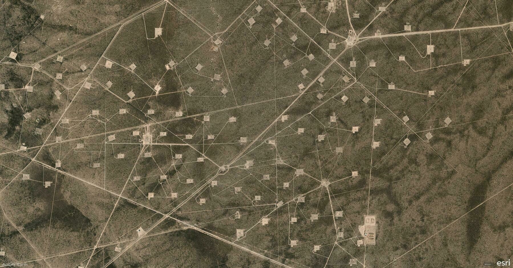
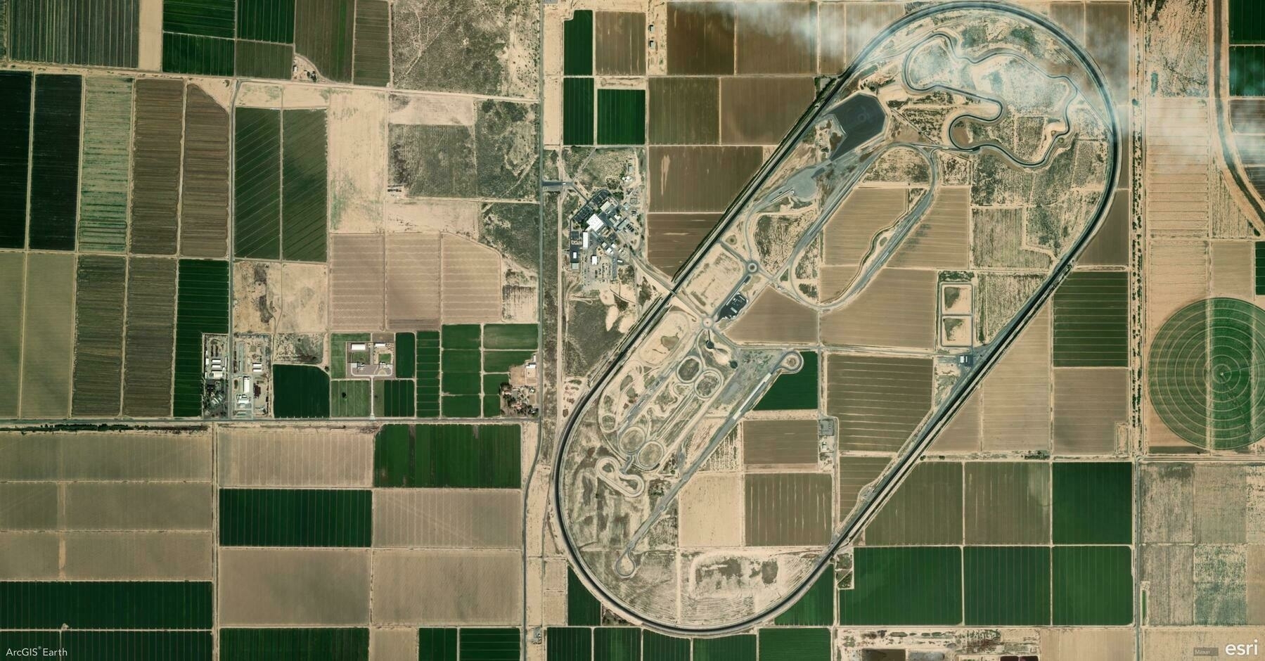
    Screenshot of Maricopa, United States, from ArcGIS Earth
    → 8:51 PM, Jan 9
    Also on Bluesky
  • 🌍 #ArcGISEarth230Tips | Tip 6: Master Basemaps and Terrain for Enhanced Spatial Context 🗺️🌄

    Did you know that in ArcGIS Earth, basemaps and terrain layers are more than just visual backdrops? They’re powerful tools for adding context, clarity, and insight to your geospatial data. Whether sourced from ArcGIS Online, your organization’s ArcGIS Enterprise, or your own custom data, you have full control over your map’s foundation.

    🛠️ 3 Ways to Elevate Your Map with Basemaps & Terrain:

    1️⃣ Choose the Perfect Basemap 🗺️ Select from imagery, topographic, streets, or hybrid basemaps to match your project’s needs.

    2️⃣ Enable Realistic Terrain 🌄 Enhance your 3D views with detailed terrain layers that bring elevation and topography to life.

    3️⃣ Use Personalized Basemaps & Terrain 📂 Go beyond default options by adding your own data as a custom basemap or terrain, tailoring your visualizations to project-specific needs.

    🚀 Pro Tips:

    1️⃣ Merge Local Rasters for Terrain: Add multiple local elevation rasters at once—ArcGIS Earth will automatically merge them into a unified terrain layer.

    2️⃣ Layer Order Matters: Multiple elevation sources can overlap, and their order defines the final elevation surface.

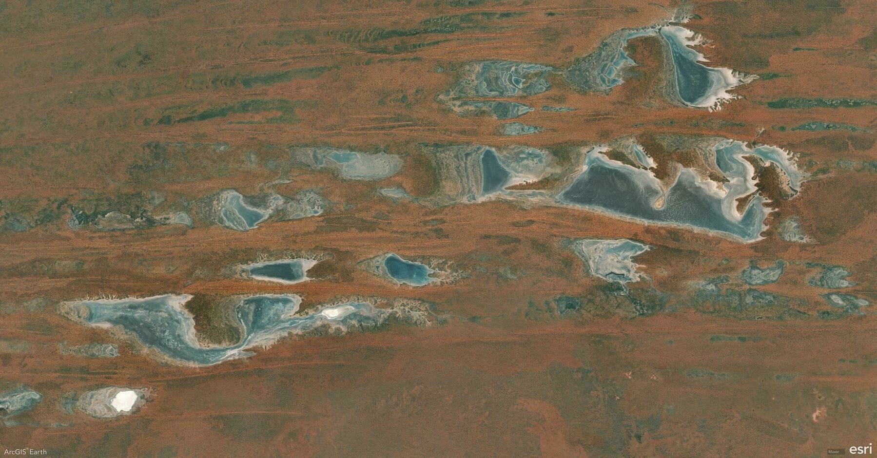
    Screenshot of Tanami, Australia, from ArcGIS Earth
    → 8:46 PM, Jan 8
    Also on Bluesky
  • 🌍 #ArcGISEarth230Tips | Tip 5: Measure Anything, From Points to Polygons, in 2D & 3D 📐

    Did you know ArcGIS Earth’s measurement tools allow you to measure everything from points and lines to complex polygons—in both 2D and 3D environments? Whether it’s measuring the length of a road, the area of a park, or the height of a building, ArcGIS Earth has you covered.

    🛠️ Key Measurement Options in ArcGIS Earth:

    1️⃣ Point-to-Point Measurement: 📍 Measure straight-line distances between two specific points—perfect for route planning or quick estimations.

    2️⃣ Path & Multi-Segment Distance: 🛤️ Draw multi-segment lines to measure complex paths with accurate total distances and segment-by-segment breakdowns.

    3️⃣ Area Measurement: 🛑⭕ Draw polygons to calculate surface area for zoning, land-use planning, and site assessments, or create circles with defined radii for buffer zones and proximity analysis.

    4️⃣ 3D Object Measurement: 🏢 Take advantage of 3D measurements to analyze building heights, distances between structures, or surface dimensions.

    🚀 Pro Tips:

    1️⃣ Right-Click to Adjust: Right-click to delete the last vertex during measurement.

    2️⃣ Segment Insights: ArcGIS Earth displays distance along each segment directly on the scene for granular clarity.

    Screenshot of East Coast, Bahamas, from ArcGIS Earth
    → 9:25 PM, Jan 7
    Also on Bluesky
  • 🌍 #ArcGISEarth230Tips | Tip 4: Unlock the Power of Drawing Tools in ArcGIS Earth ✍️

    Did you know ArcGIS Earth offers versatile drawing tools that allow you to annotate maps, highlight key features, and communicate insights visually? From simple points to complex polygons, these tools empower you to tell your geospatial story effectively.

    🛠️ The 4 Drawing Tools you should master:

    1️⃣ Points 📍 Mark specific locations on the globe, ideal for noting observation points, field data, or areas of interest.

    2️⃣ Lines & Paths 📏 Draw linear features for routes, boundaries, or infrastructure layouts. Use them to plan pathways or measure distances accurately.

    3️⃣ Polygons 🛑 Outline areas of interest for zoning, land-use mapping, or risk assessment.

    4️⃣ Overlays 🖼️ Add Ground Overlays or Screen Overlays to integrate external images and maps directly onto your scene, providing additional context and visual references.

    🚀 Pro Tips:

    1️⃣ Freehand Drawing Template: Enable Freehand Mode while drawing to create smooth, organic shapes for polygons and lines.

    2️⃣ Right-Click for Precision: Right-click during drawing to manually input coordinates, distance, or angle values for highly accurate geometry placement.

    Screenshot of Kimbolton, Australia, from ArcGIS Earth
    → 9:45 PM, Jan 6
    Also on Bluesky
  • 🌍 #ArcGISEarth230Tips | Tip 3: Unlock the Power of 30+ Supported Data Formats 📊

    Did you know ArcGIS Earth supports over 30 data formats across 3 major categories, offering unmatched flexibility for integrating, visualizing, and analyzing geospatial data? From local files to web services, every workflow is covered.

    🛠️ 3 Key Data Format Categories with 30+ Supported Formats:

    1️⃣ Local Files & Packages 📁 ArcGIS Earth seamlessly integrates local datasets and offline packages for both desktop analysis and field operations, including KML/KMZ, Shapefile, Raster, 3D Models, GPX, MSPK, and more.

    2️⃣ ArcGIS Services 🌐 Leverage real-time data streams and centralized services from ArcGIS Online or ArcGIS Enterprise to power dynamic, up-to-date visualizations. Supported formats include Feature Service, Map Service, Image Service, Scene Service, and more.

    3️⃣ OGC Standards 🌍 Ensure global interoperability with open geospatial standards. ArcGIS Earth supports OGC-compliant data formats, making integration with third-party systems seamless. Examples include WMS, WFS, WMTS, GeoPackage, 3D Tiles, SLPK, and others.

    🚀 Pro Tip: Drag and drop files directly into ArcGIS Earth or use the Add Data panel to quickly integrate multiple formats into your scene.

    Screenshot of Pulen, Argentina, from ArcGIS Earth
    → 10:48 PM, Jan 3
    Also on Bluesky
  • 🌍 #ArcGISEarth230Tips | Tip 2: 5 Powerful Navigation Controls in ArcGIS Earth 🧭

    Did you know ArcGIS Earth supports 5 distinct navigation controls, offering seamless exploration across 3D environments. Whether you’re analyzing terrain, presenting to stakeholders, or casually exploring, these controls ensure precision and efficiency.

    🛠️ The 5 Navigation Controls:

    1. Mouse Controls: Effortlessly pan, zoom, and rotate with your mouse. Use the right-click flight patterns for dynamic exploration.
    2. Keyboard Shortcuts: Navigate with precision using keys like N (North), U/J (Elevation), R (North and Center), or Arrow keys for panning.
    3. Touch Navigation: Perfect for touchscreen devices – pinch to zoom, drag to pan, and rotate with two fingers.
    4. 3D Space Mouse Support: Fly through terrains with smooth, intuitive 3D mouse movements.
    5. On-Screen Navigator: Use the Compass Button and Zoom Controls for guided exploration.

    🚀 Pro Tip: Q + Hover Pointer — Activate Fly Mode to seamlessly pan and rotate based on your pointer’s position.

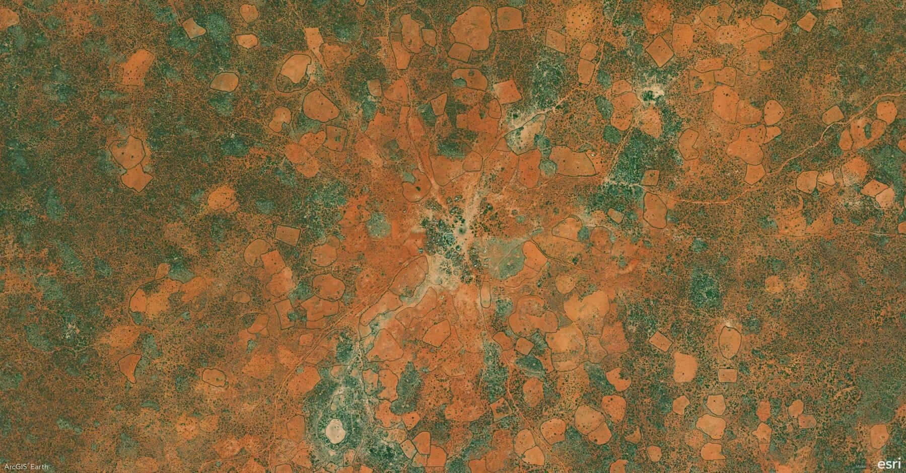
    Screenshot of Bulo-Burte, Somalia, from ArcGIS Earth
    → 9:51 PM, Jan 2
    Also on Bluesky
  • 🌍 #ArcGISEarth230Tips | Tip 1: Install ArcGIS Earth with Ease 🌐

    Did you know you can install ArcGIS Earth silently using command-line parameters for a hassle-free setup? This is perfect for deploying across multiple machines or automating installations. Here’s how:

    msiexec.exe /i <setup location>\ArcGISEarth.msi ALLUSERS=2 INSTALLDIR="C:\MyArcGISEarth\" ACCEPTEULA=yes /qn

    🚀 Pro Tip: Add a configuration file for custom settings using the CONFIGFILE=UseConfigFile CONFIGPATH=<path> parameter.

    Whether you’re setting up for a single user or an entire team, this quick tip will save time and streamline your workflow. Check out the documentation for more details!

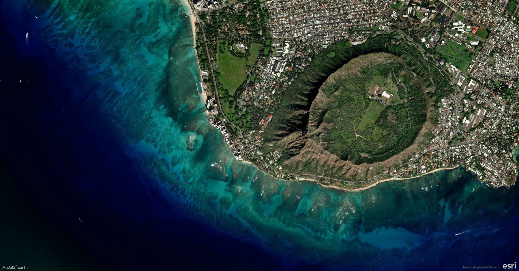
    Screenshot of Honolulu, United States, from ArcGIS Earth
    → 9:05 PM, Jan 1
    Also on Bluesky
← Newer Posts Page 5 of 5
  • RSS
  • JSON Feed
  • Lucky
  • Archive
  • About