2025-04-11
Last night’s badminton game left me with a twisted ankle, and by morning, it was still sore and uncomfortable to walk on. After dropping Hamer off, I grabbed McDonald’s for breakfast—just had a craving.
Later, I visited the dentist to follow up on a previous check-up. X-rays revealed an old filling that may need a root canal. For now, I had a cleaning and got a reminder: no horizontal brushing, use an electric toothbrush, floss well, and pay extra attention around my implant.
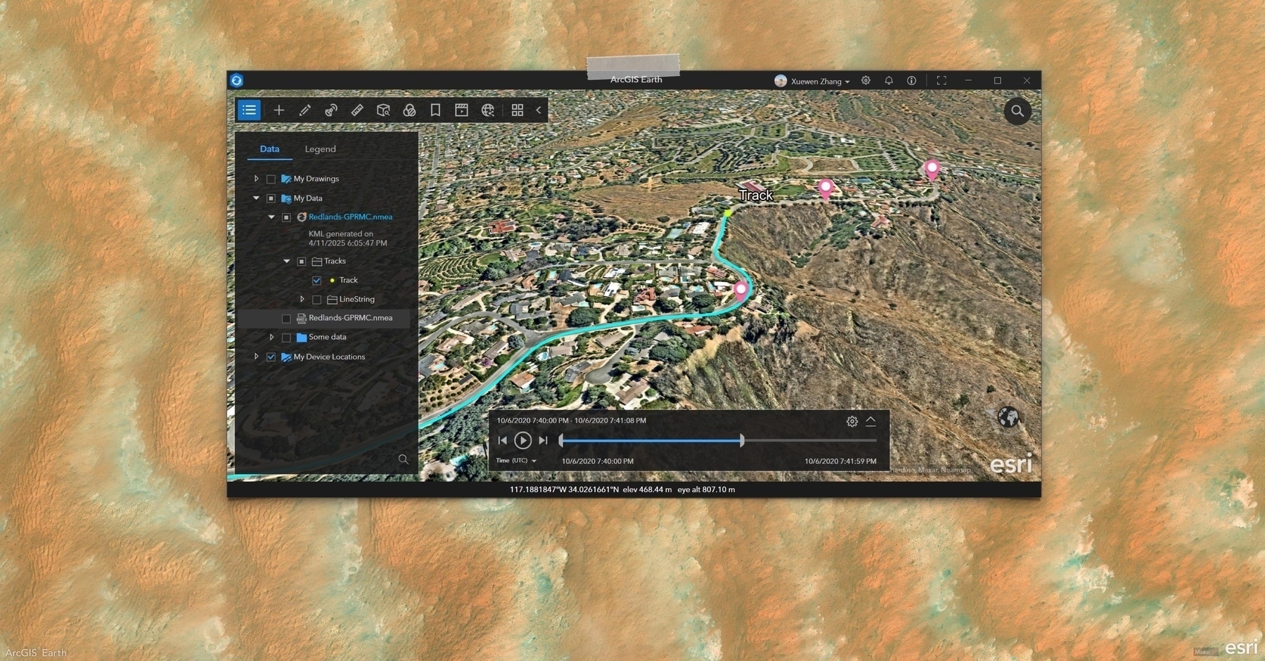
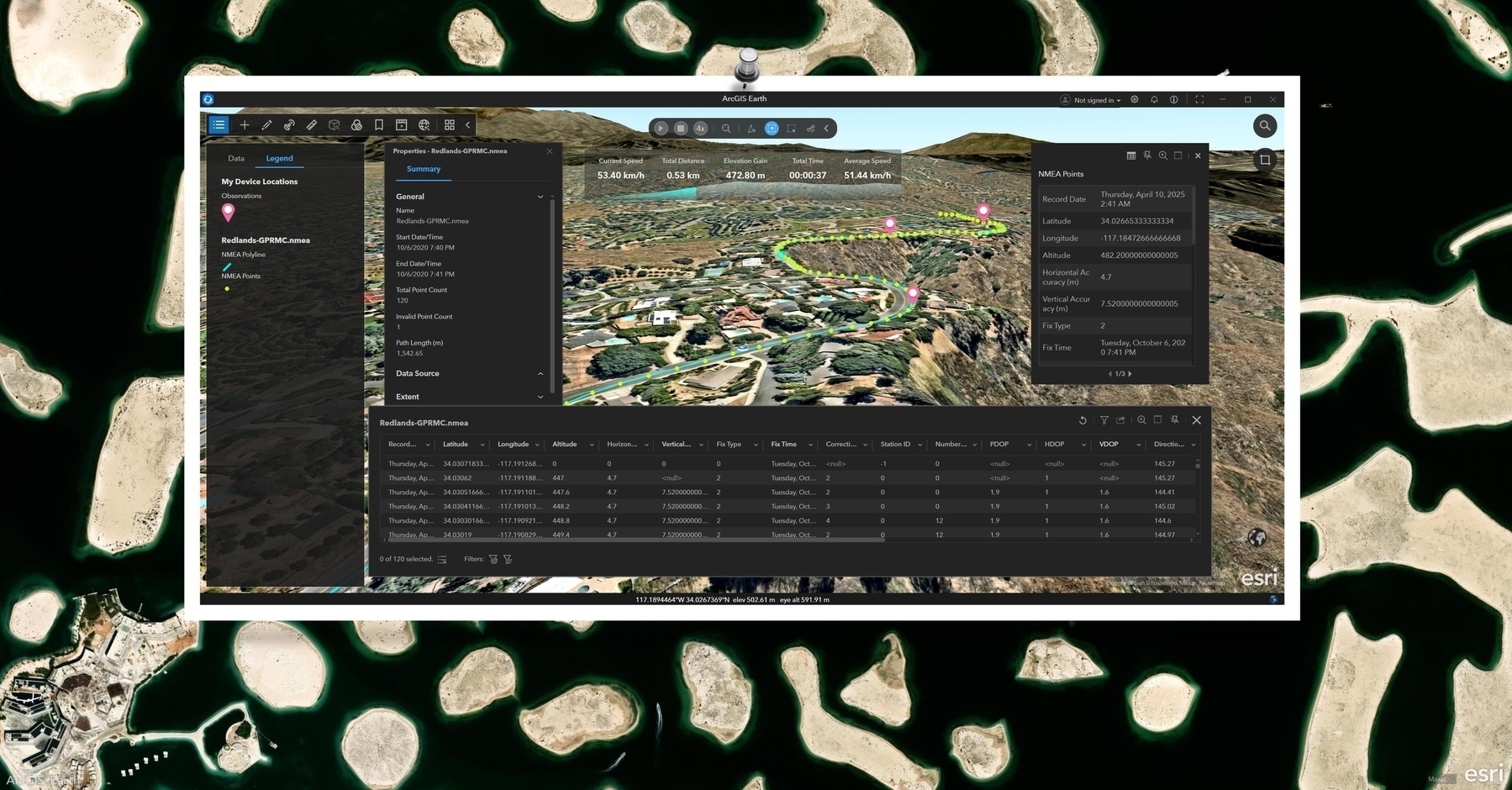
In the afternoon, I worked on setting up an old AI project environment. With help from a colleague, I finally got it running and plan to document the process and improve it next week.
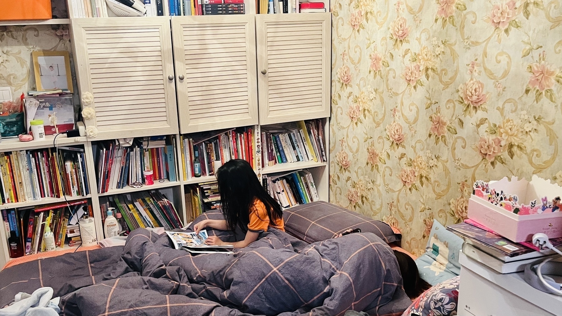
Before heading home, Hamer called and joked that I might get blown away if I didn’t hurry. After dinner, we watched When Life Gives You Tangerines and only realized IU was the lead by episode two.
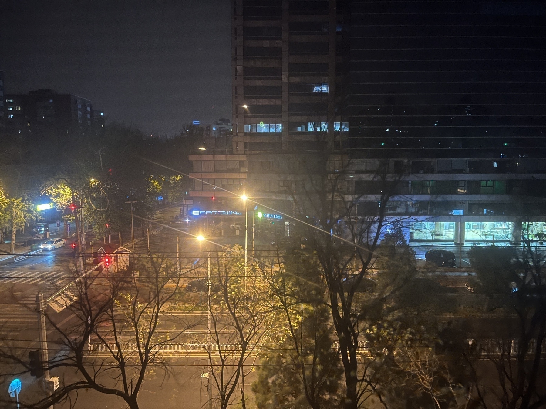
The long-anticipated windstorm still hadn’t arrived by bedtime—maybe tomorrow.