2025-04-09
I started the day by continuing to listen to the ongoing company meeting—by this point, I had followed it from start to finish, which made me feel somewhat involved in the whole session.
Throughout the day, I explored integrating Ollama with MCP to run local language models. I initially tried Open WebUI’s mcpo to expose MCP as an OpenAPI interface, but I didn’t know how to use the tools it offered. Later, I found oterm, an Ollama client that supports MCP tools. When I couldn’t select tools, I realized that not all models support the tools feature.
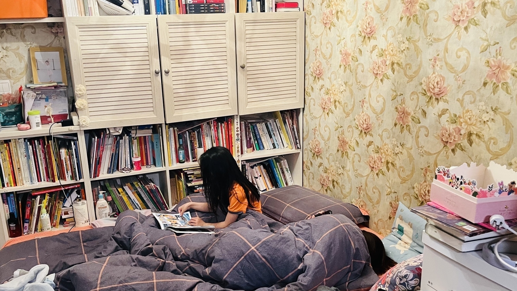
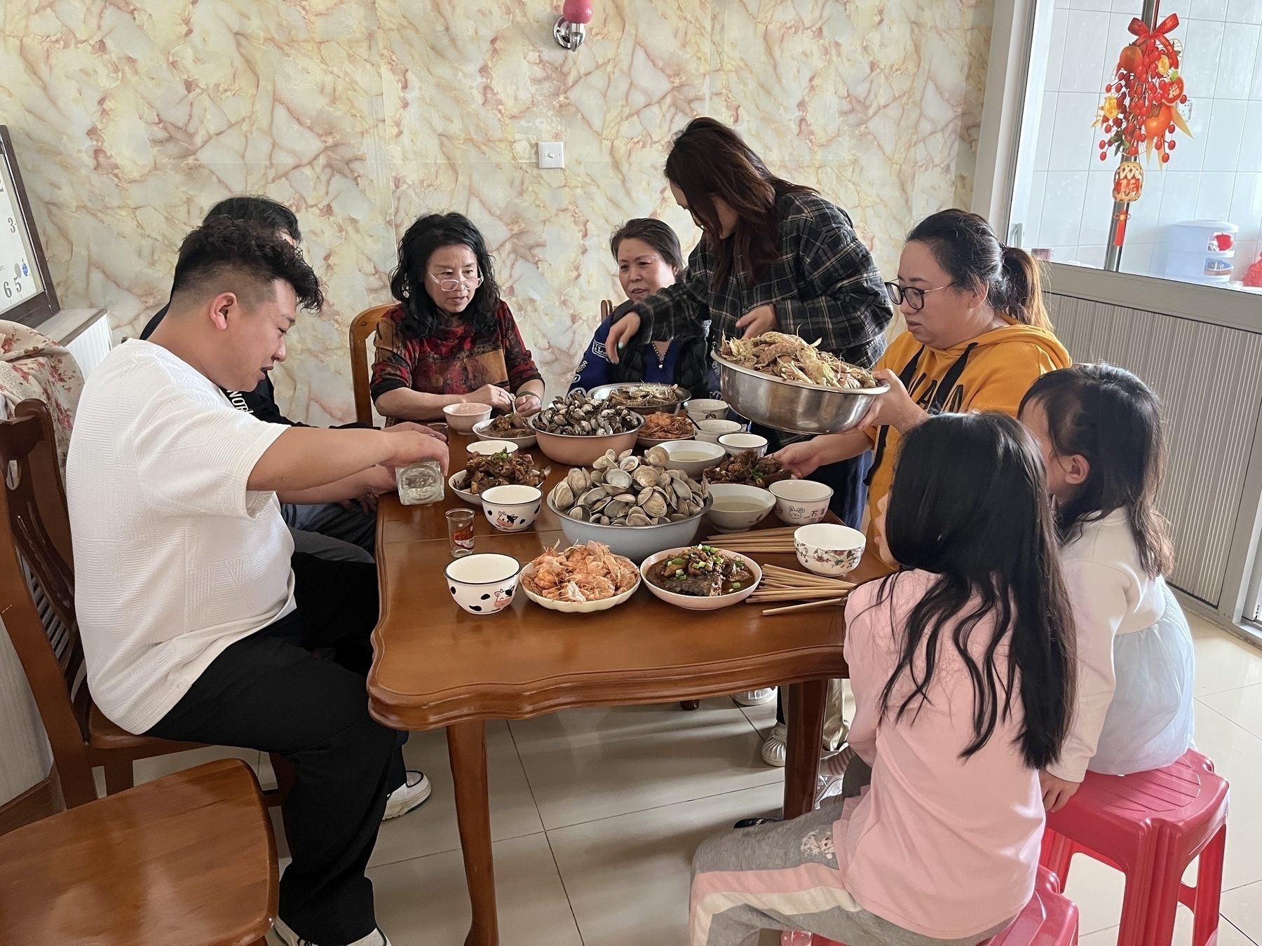
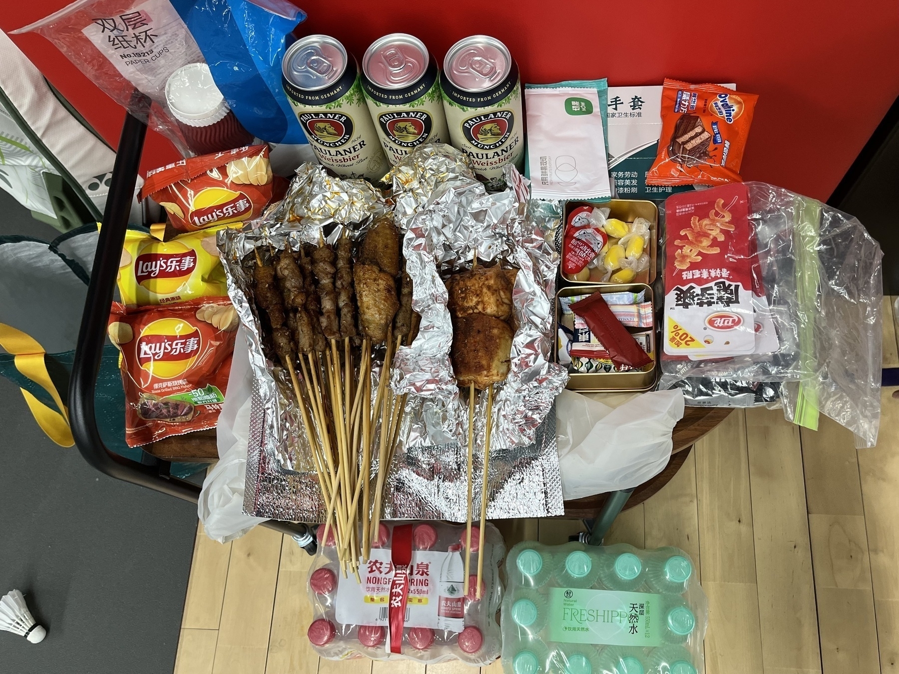
When we got home, Hamer surprised me by pretending to be a waitress—seriously guiding me through removing my shoes, washing up, and serving dinner. Her commitment to the role was both hilarious and sweet. After dinner, we went shopping. I was impressed by how disciplined Hamer has become—carefully choosing only a few things. She’s really growing into a thoughtful, self-controlled little person.